


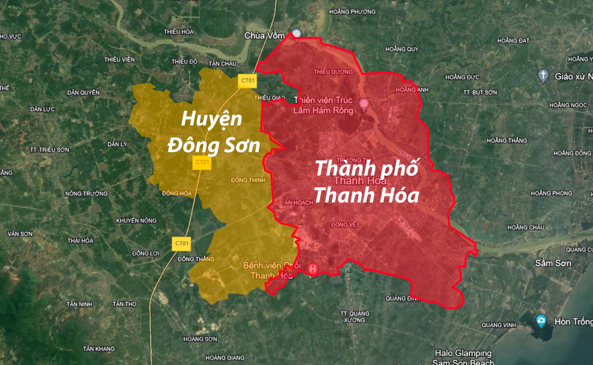
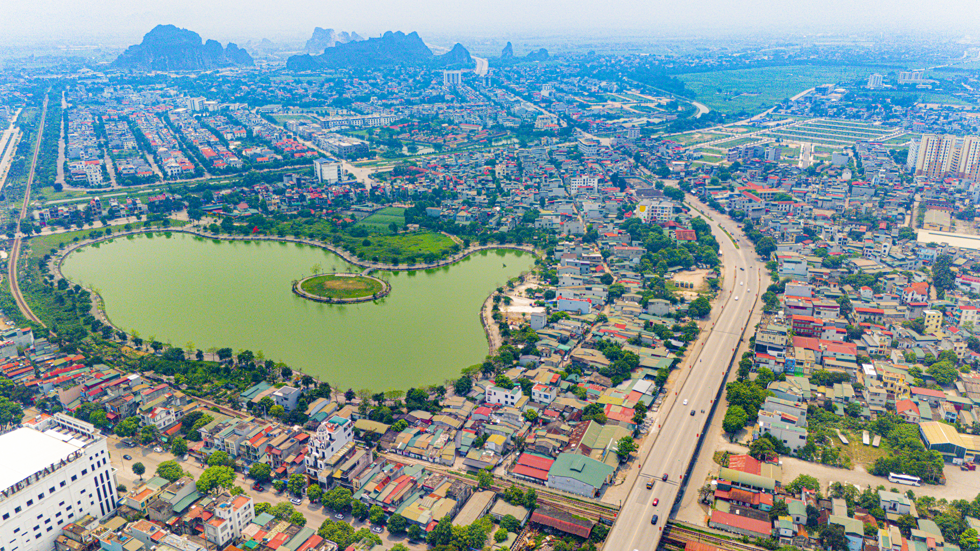
According to the master plan for Thanh Hoa city and Thanh Hoa province until 2040, before 2025, all of Dong Son district (83 sq km) will be merged into Thanh Hoa city. As a result, after the merger, Thanh Hoa urban area will have a natural area of more than 230 sq km, which is more than 1.5 times its current area (147 sq km). The image is for illustration purposes only and may not be entirely accurate.
In terms of spatial development orientation, Thanh Hoa city will develop a concentrated urban space, radiating and connecting with the main idea of: Backing the mountain range (Ngàn Nưa) – beside the Ma river – facing the sea (Northern Gulf of Tonkin).
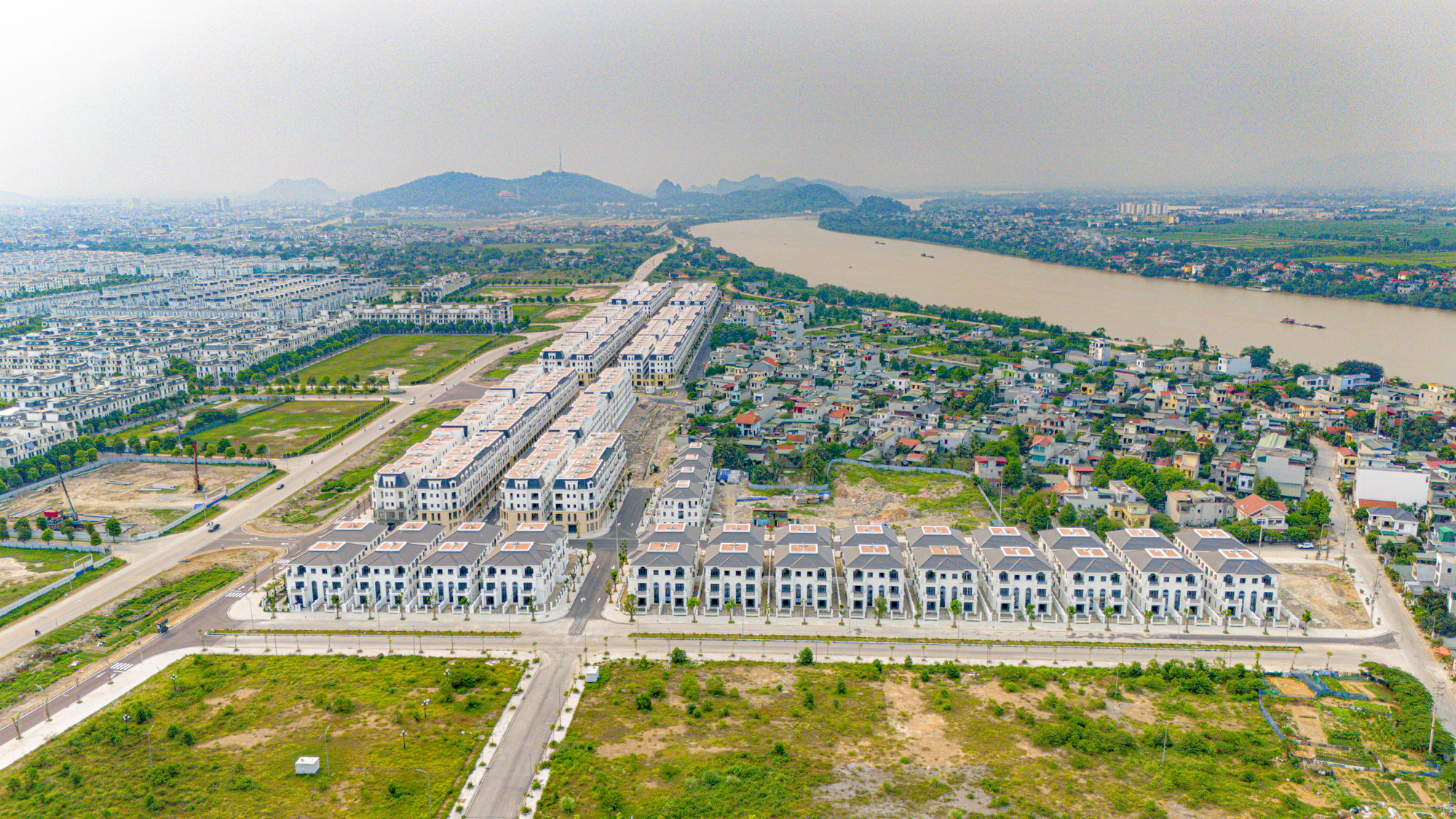
The entire Thanh Hoa city will take the Ngàn Nưa mountain range as its backdrop, developing the urban area on both sides of the Ma river, with strong connections to the East and towards the sea. The photo shows Central Riverside, opposite Vinhomes Star City, two large urban areas in Thanh Hoa city located on the Ma river bank.
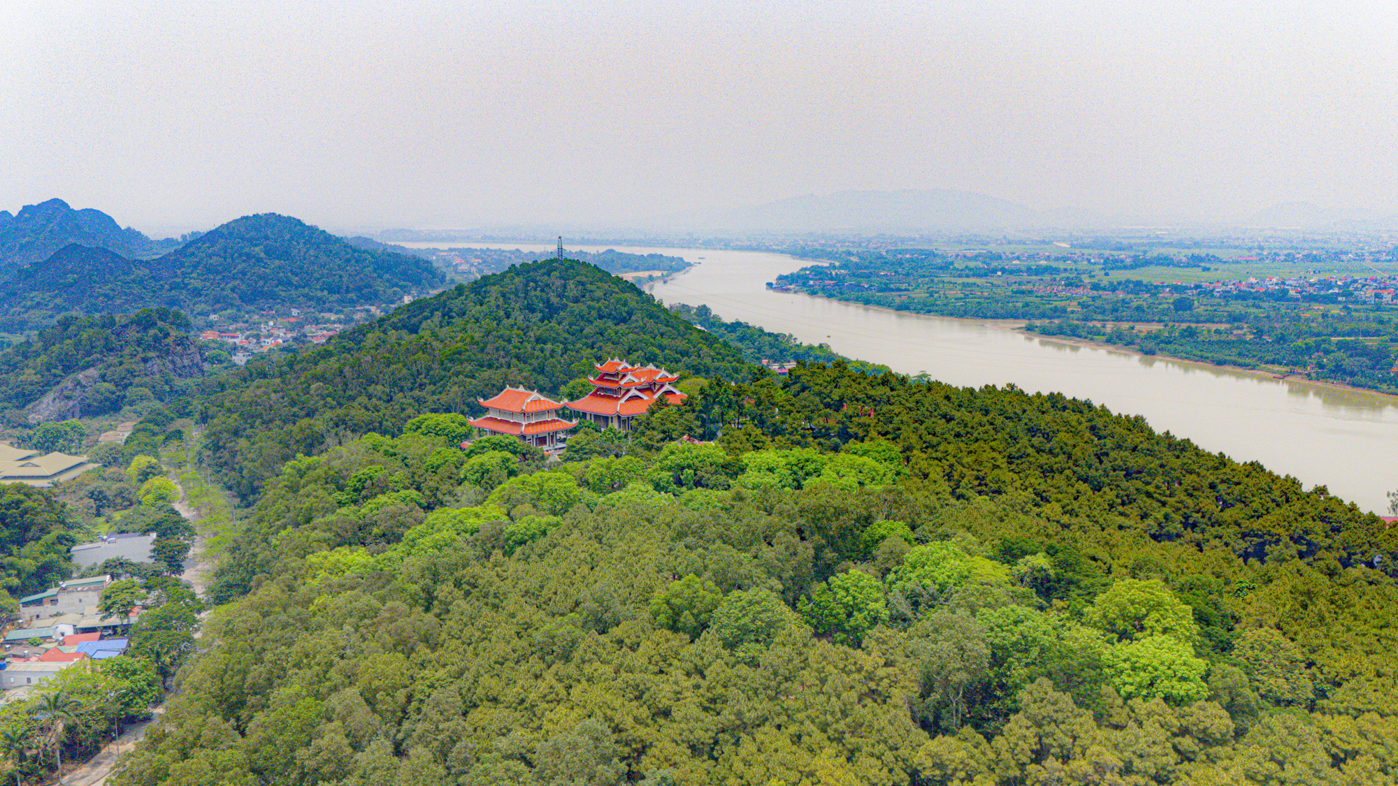
At the same time, the city is expected to have six integrated centers, including the existing center, Ham Rong – Nui Do, Southeast, Northeast, West, and Southwest. Each center will have its own functions and development goals. The photo shows the Truc Lam Ham Rong Zen Monastery next to the Ma river.
Thanh Hoa city will develop according to the “concentrated, multi-core” model, with Le Loi avenue as the central axis, the Ma river as the urban landscape axis, and enhanced urban strips parallel to this landscape axis. The photo shows Le Loi avenue.
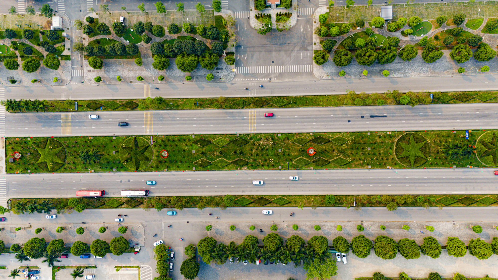
The three main development axes of Thanh Hoa city will include the traditional axis in the North-South direction along National Highway 1; the Northwest-Southeast axis along National Highways 45 and 47, the East-West avenue, and the South of Ma river avenue; and the new development axis in the Southwest-Northeast direction from the city center to Tho Xuan port via Le Loi avenue, Nguyen Hoang avenue to Hai Tien sea, connecting areas with new dynamic development roles. The photo shows Nguyen Hoang avenue.
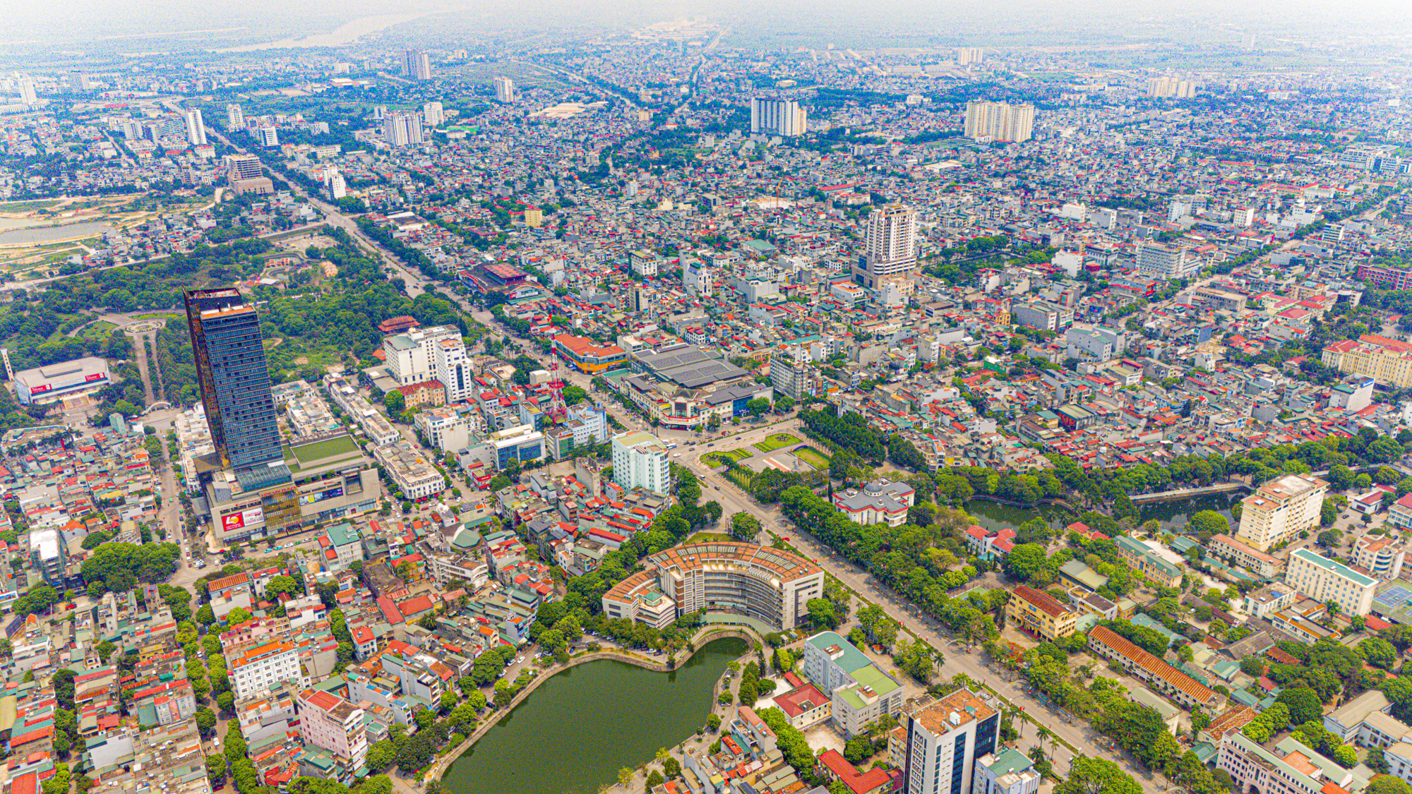
Currently, Thanh Hoa city is a locality that makes significant contributions to the province’s economy. In 2023, the total estimated production value exceeded VND 73,400 billion, the total retail sales of goods and service revenue reached nearly VND 43,000 billion, and the state budget revenue was VND 3,500 billion. The per capita income reached nearly VND 85 million per person per year…
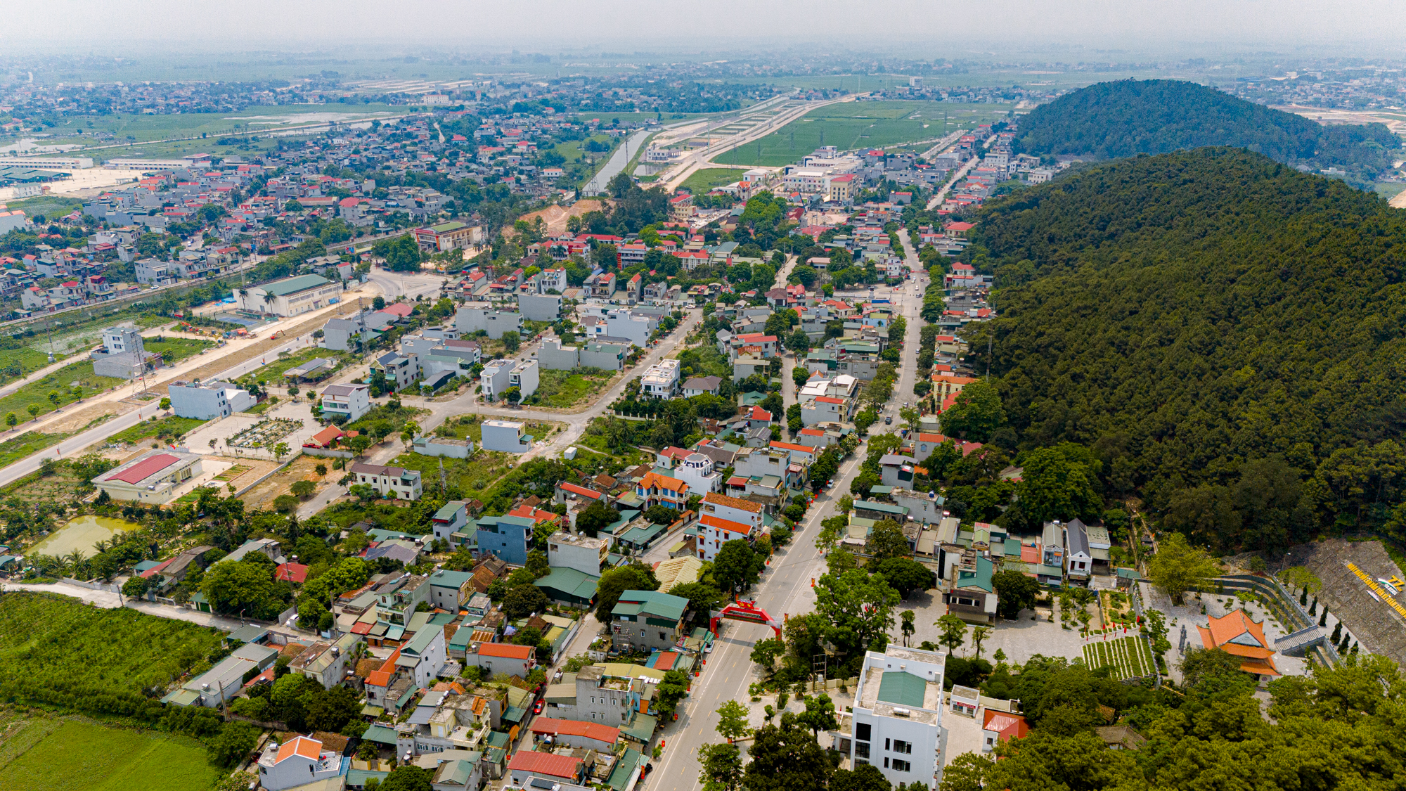
Regarding Dong Son district, in 2023, the total investment capital for development was estimated at nearly VND 3,700 billion. The estimated industrial production value exceeded VND 3,500 billion. The state budget revenue reached more than VND 1,170 billion, and the per capita income was over VND 63.6 million per person per year.
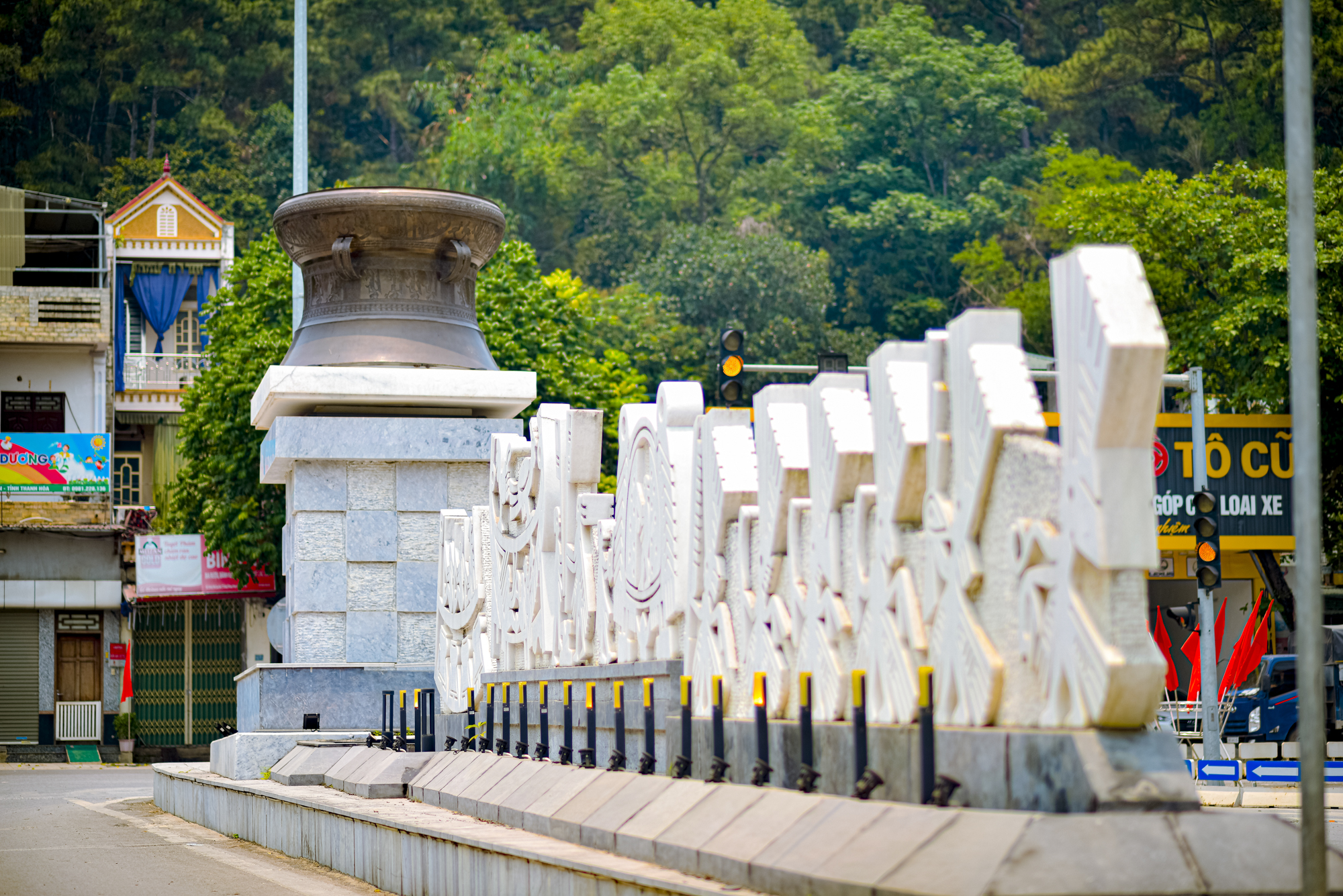
Dong Son district is known as a region with important historical value, preserving the traces of ancient Vietnamese people. The most prominent among these is the Dong Son bronze drum.
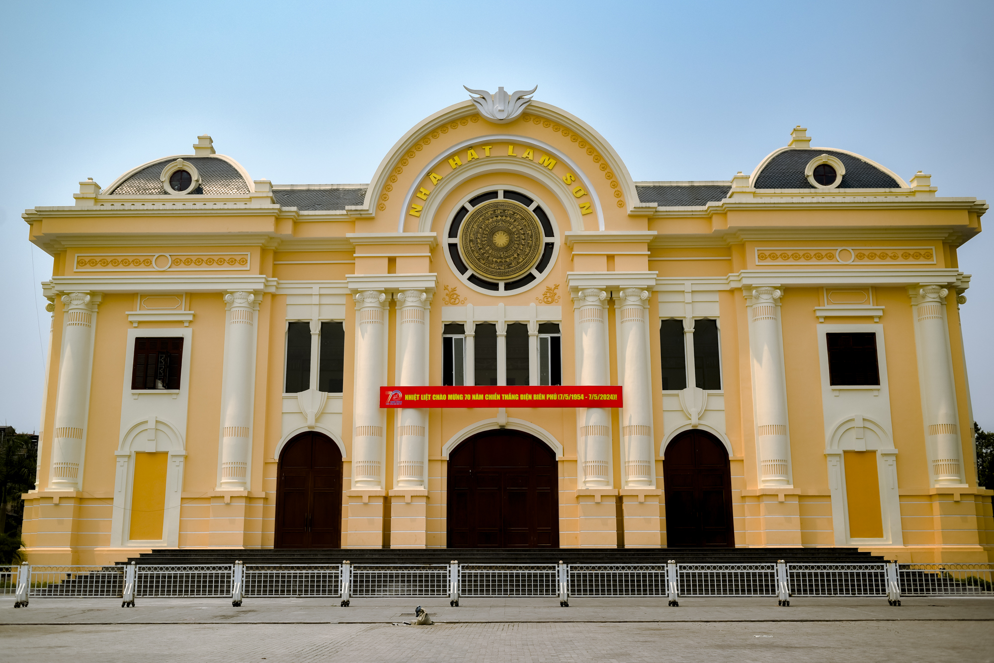
This planning holds special significance, offering a new vision and creating new momentum for the future development of Thanh Hoa city. The photo shows Lam Son Theatre.
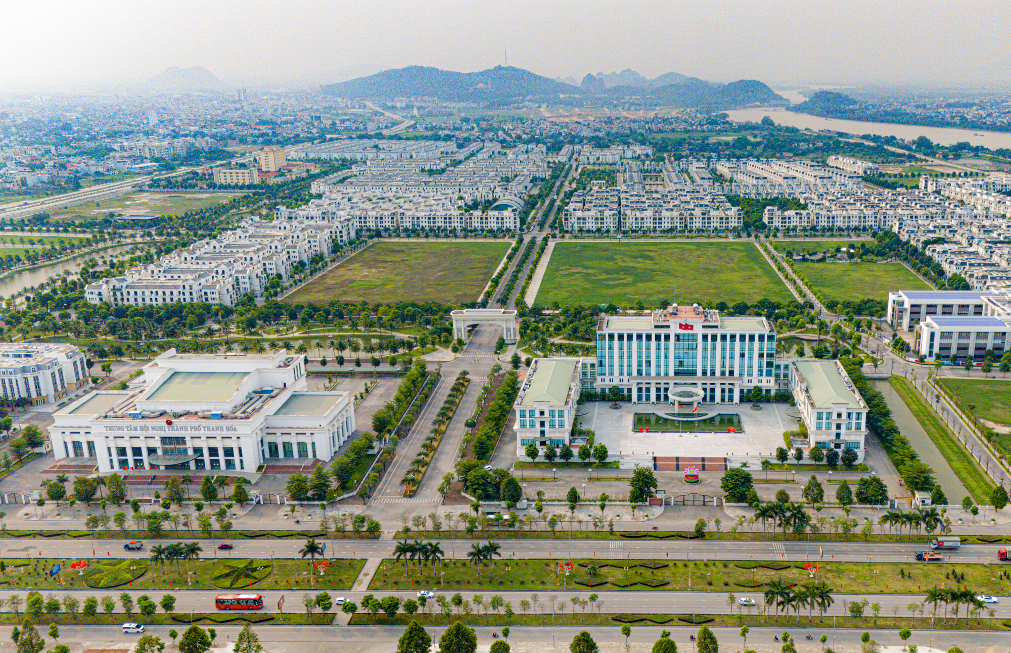
This is also the first planning of a city directly under the province in the North Central and Central Coastal regions and the third planning of a city directly under the province in the country approved by the Prime Minister for adjustment after the implementation of the Planning Law No. 21/2017/QH14. The photo shows the Conference Center and People’s Committee of Thanh Hoa city.


