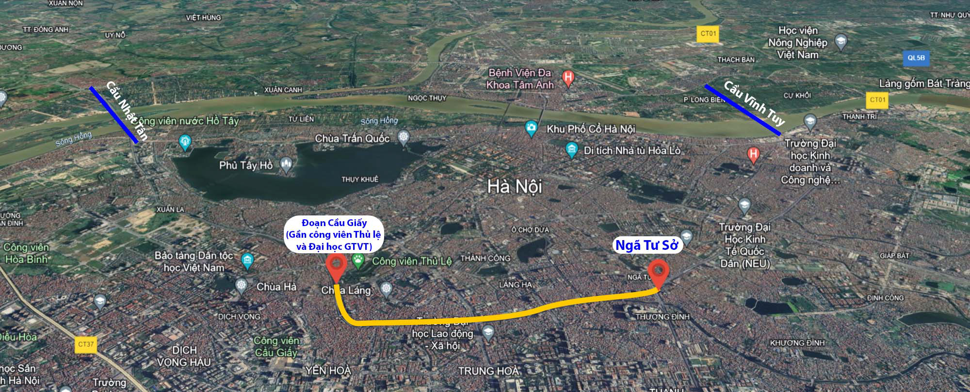
The Department of Transportation has reported to the Hanoi People’s Committee on the implementation of the proposal for investment policy and pre-feasibility study reports for 11 upcoming transportation projects in the area, including the Ring Road 2 section from Ngã Tư Sở to Cầu Giấy (Đường Láng). The highlighted section in the image below indicates the scope of the project.
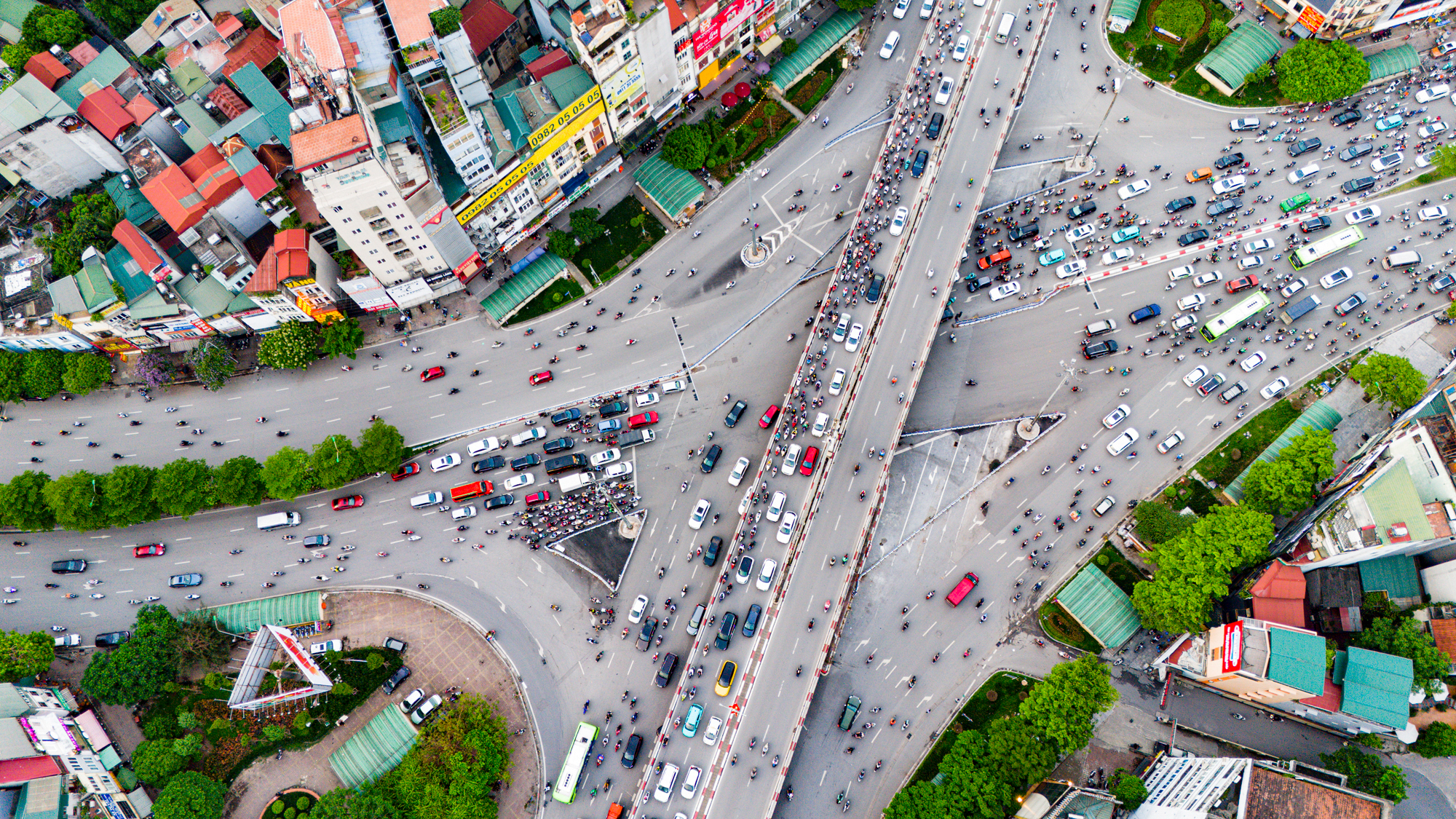
The investment for the Ring Road 2 improvement project, including both the elevated and ground-level sections from Ngã Tư Sở to Cầu Giấy, is estimated to be over VND 21 trillion, with the ground-level section costing more than VND 17 trillion and the elevated section costing nearly VND 3.9 trillion. The image shows the Ngã Tư Sở intersection.
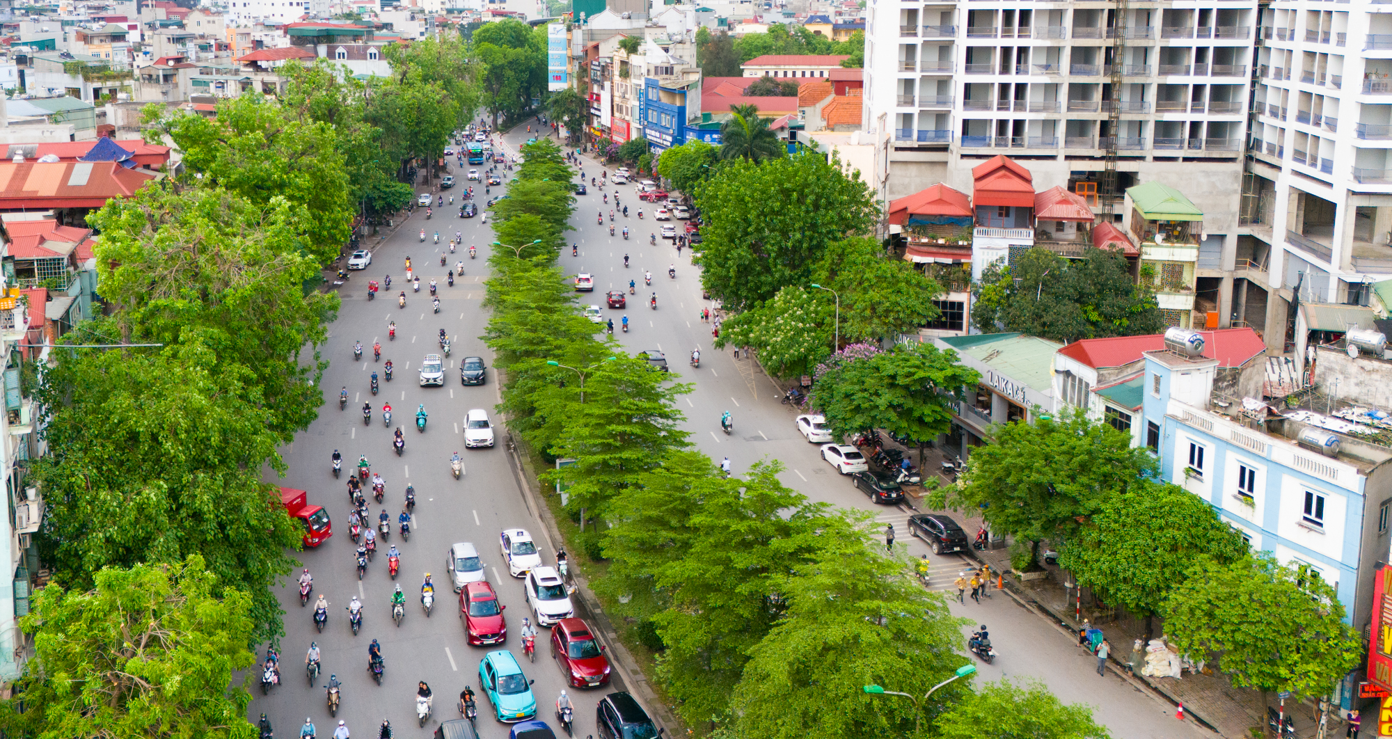
If approved, this project would break the record for the world’s most expensive road, surpassing the Hoàng Cầu – Voi Phục section, which cost VND 4,545 billion per kilometer for the ground-level road. When including the elevated section, the cost per kilometer would be VND 5,500 billion. The figure of VND 21 trillion is equivalent to the total investment in the Quang Ngai – Hoai Nhon expressway, the most expensive section among the 23 component projects of the North-South expressway in the Eastern region.
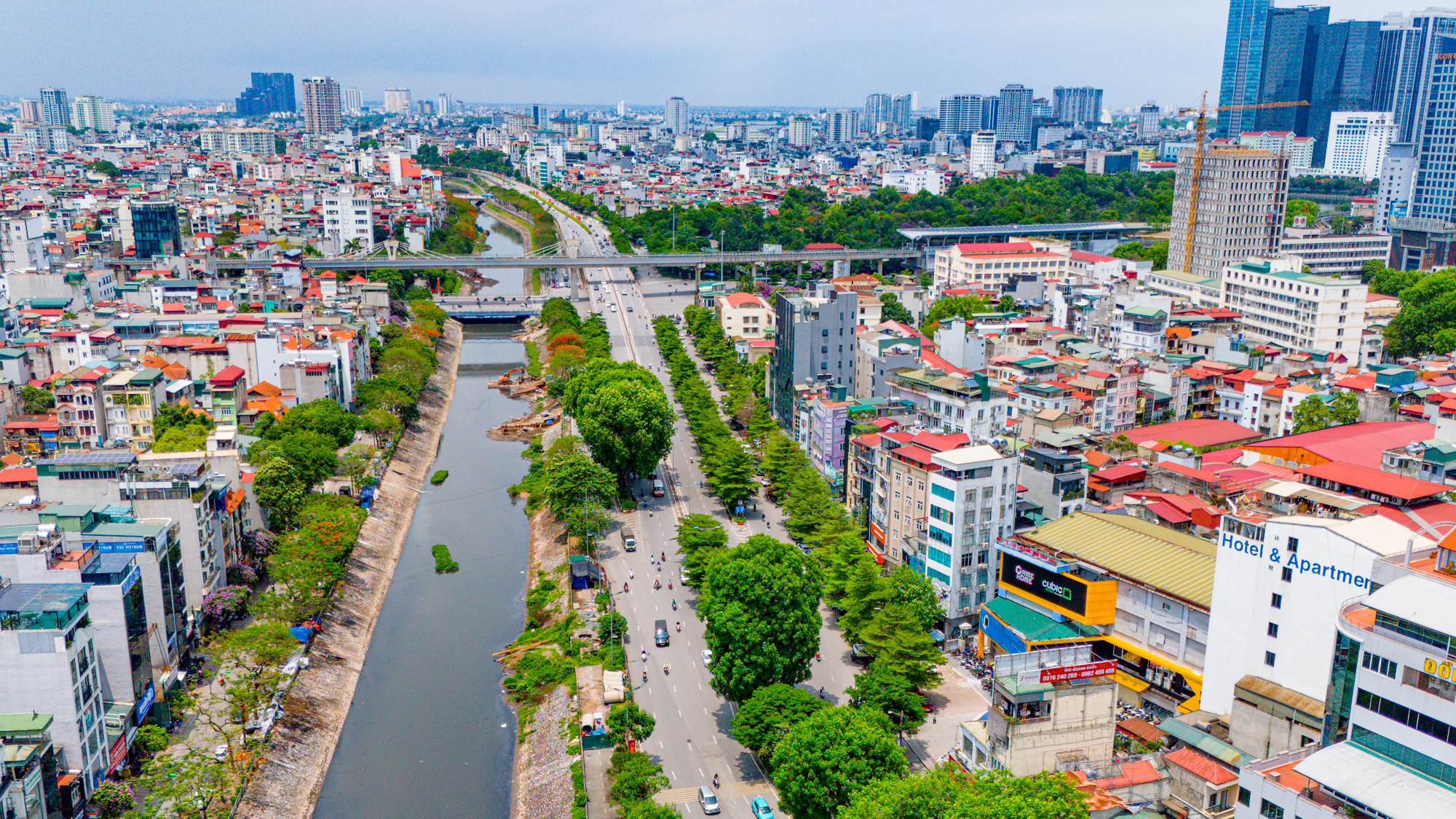
Notably, out of the total cost of over VND 17,200 billion for widening the ground-level section, the land compensation cost is VND 16,700 billion, 31 times higher than the construction cost of VND 541 billion. The image shows the endpoint at the Cầu Giấy interchange, near the University of Transport and Thu Le Park.
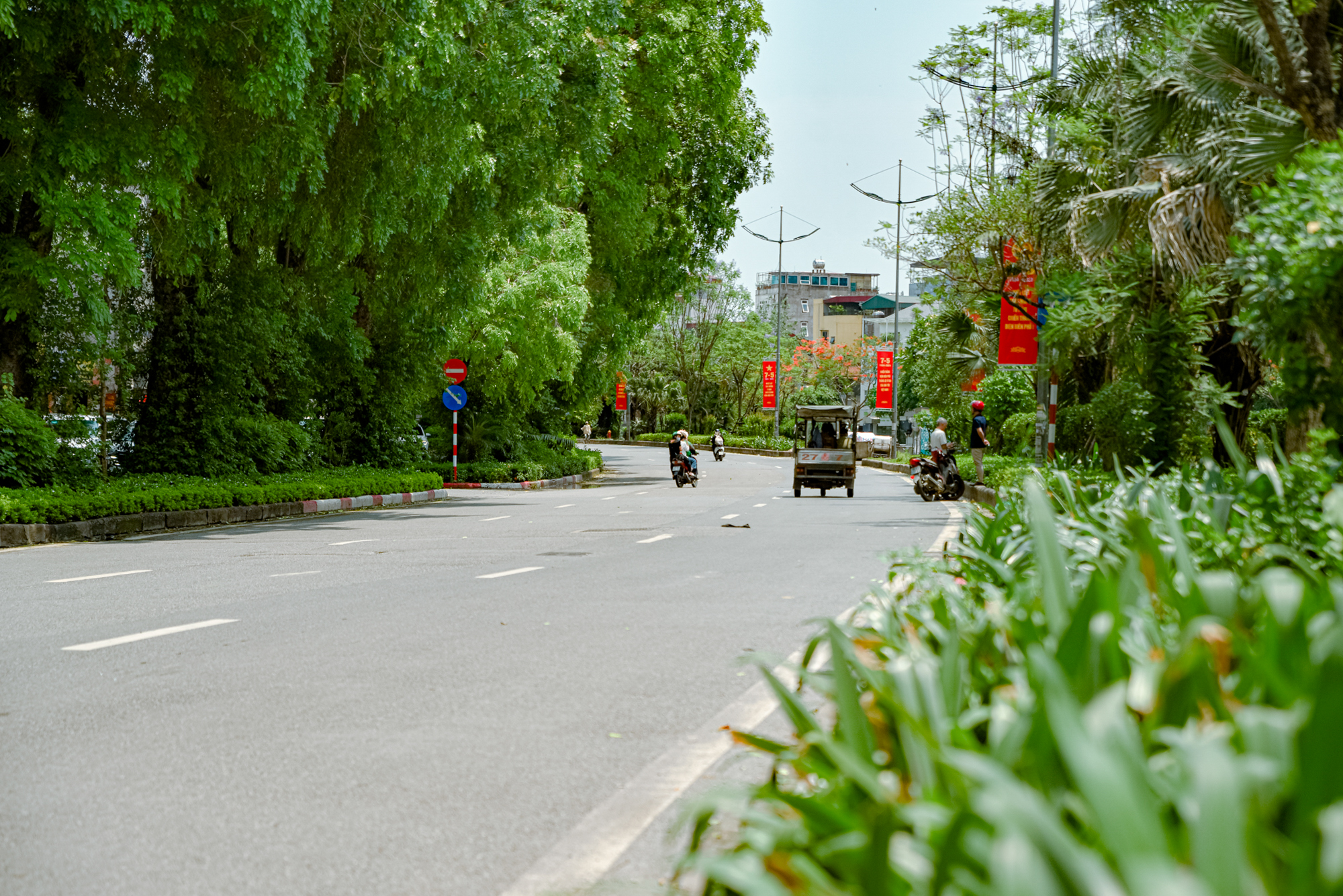
Currently, Đường Láng has a width of 21 meters (10.5 meters on each side). After the improvement, Đường Láng will be expanded to 53.5 meters wide, more than 2.5 times its current width. The designed speed limit is 80 km/h, and it will serve as a major urban road.
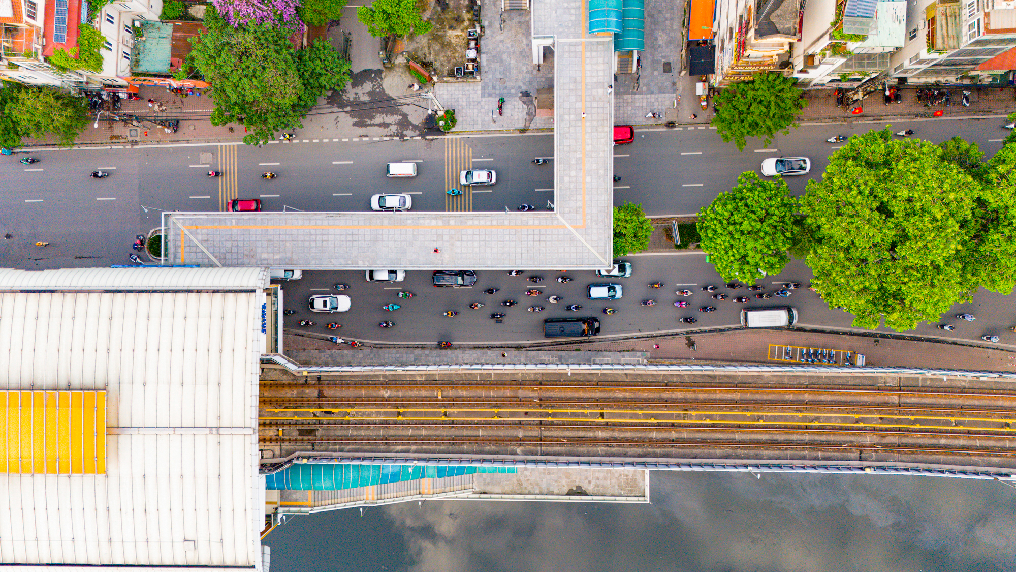
The main investment items include land compensation according to the planned cross-section, road pavement, sidewalks, greenery, lighting, technical channels, and synchronized research on intersections.
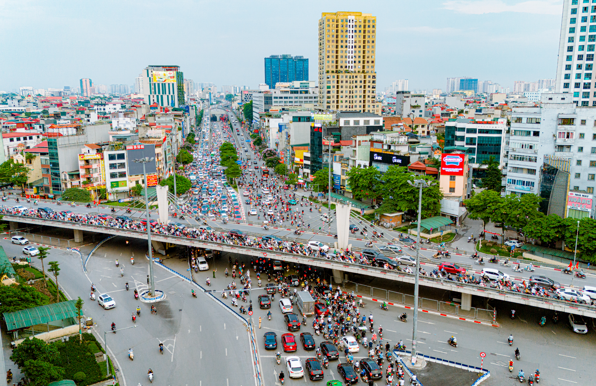
Regarding the Ring Road 2 elevated road project, the starting point will connect with the existing Ring Road 2 elevated road at the Ngã Tư Sở interchange, and the endpoint will be at the Cầu Giấy interchange. The image shows the Ngã Tư Sở interchange.
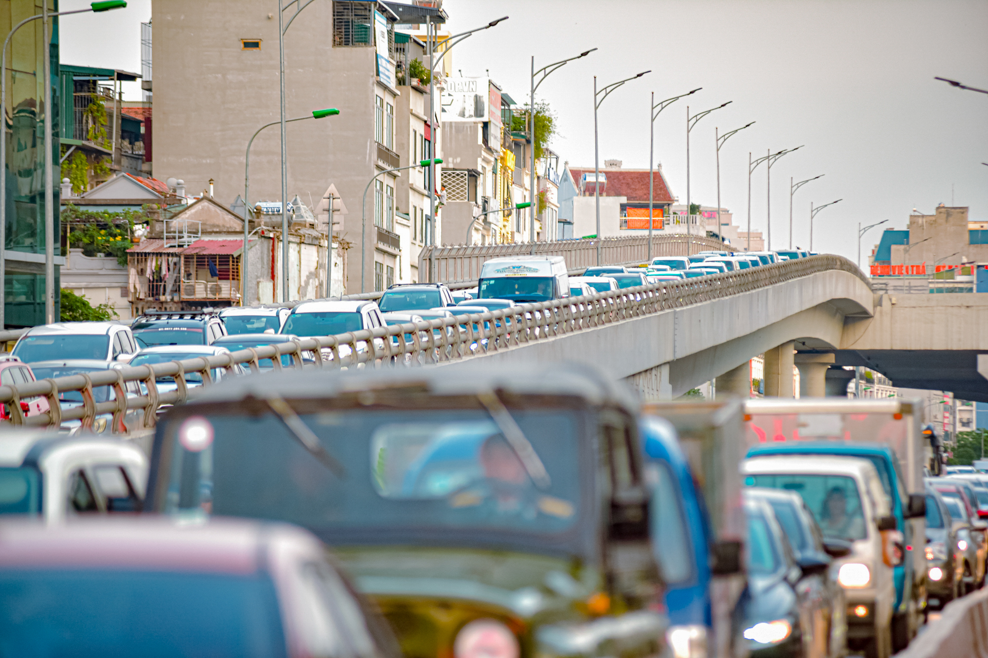
The Ring Road 2 elevated road will be 3.8 kilometers long, 19 meters wide, with a speed limit of 80 km/h, serving as a major urban road. The total investment is expected to be nearly VND 3,900 billion, and the project is planned to be implemented from 2026 to 2030.
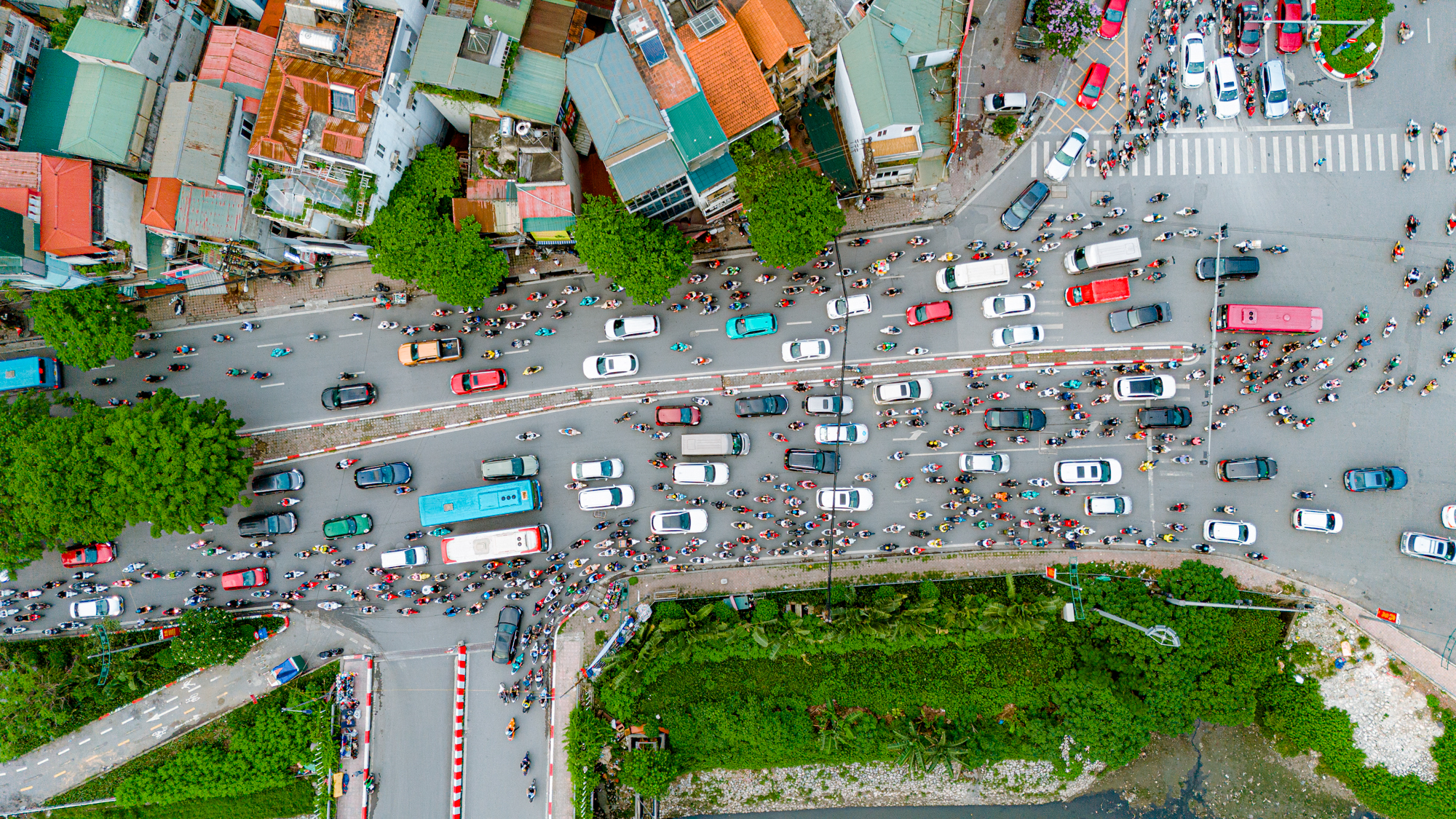
According to the Department of Transportation, Đường Láng is only 10.5 meters wide in each direction. While the maximum capacity is 3,000 vehicles per hour, the current traffic volume has reached 8,000 vehicles per hour, leading to frequent congestion during peak hours.
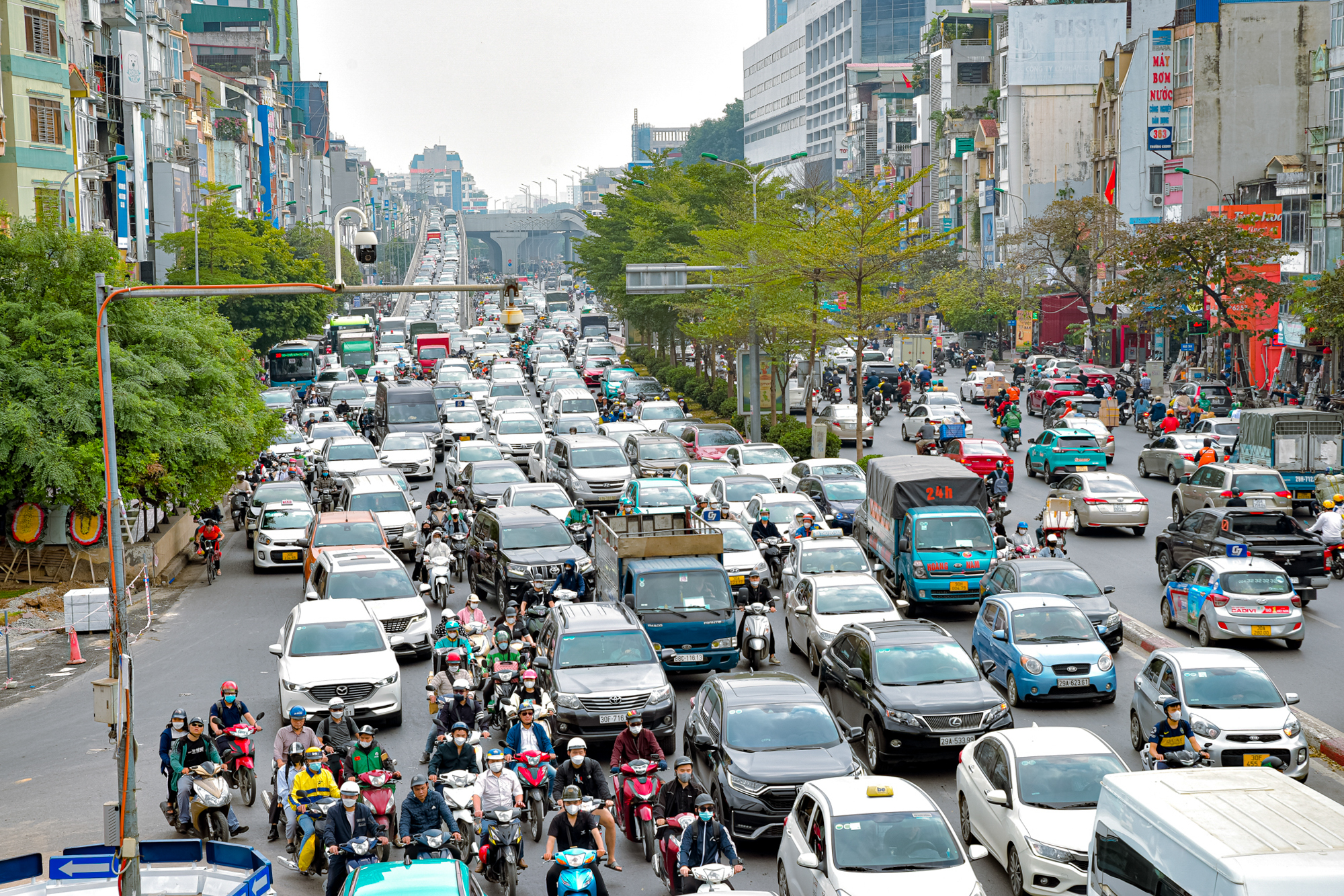
The implementation of this project aims to reduce traffic pressure on the Ngã Tư Sở interchange and maximize the efficiency of the Ring Road 2 elevated road from Vĩnh Tuy to Ngã Tư Sở, which has already been completed.

Ring Road 2 is a closed inner-city route in Hanoi, spanning 43.6 kilometers and passing through the following points: Vĩnh Tuy – Minh Khai – Đại La – Ngã Tư Vọng – Trường Chinh Street – Ngã Tư Sở – Đường Láng – Cầu Giấy – Bưởi – Nhật Tân – Vĩnh Ngọc – Đông Hội – Gia Lâm underpass – Hanel Industrial Park – Vĩnh Tuy. The two bridges crossing the Red River on Ring Road 2 are Vĩnh Tuy and Nhật Tân, and there is one bridge crossing the Duong River, the Đông Trù Bridge.
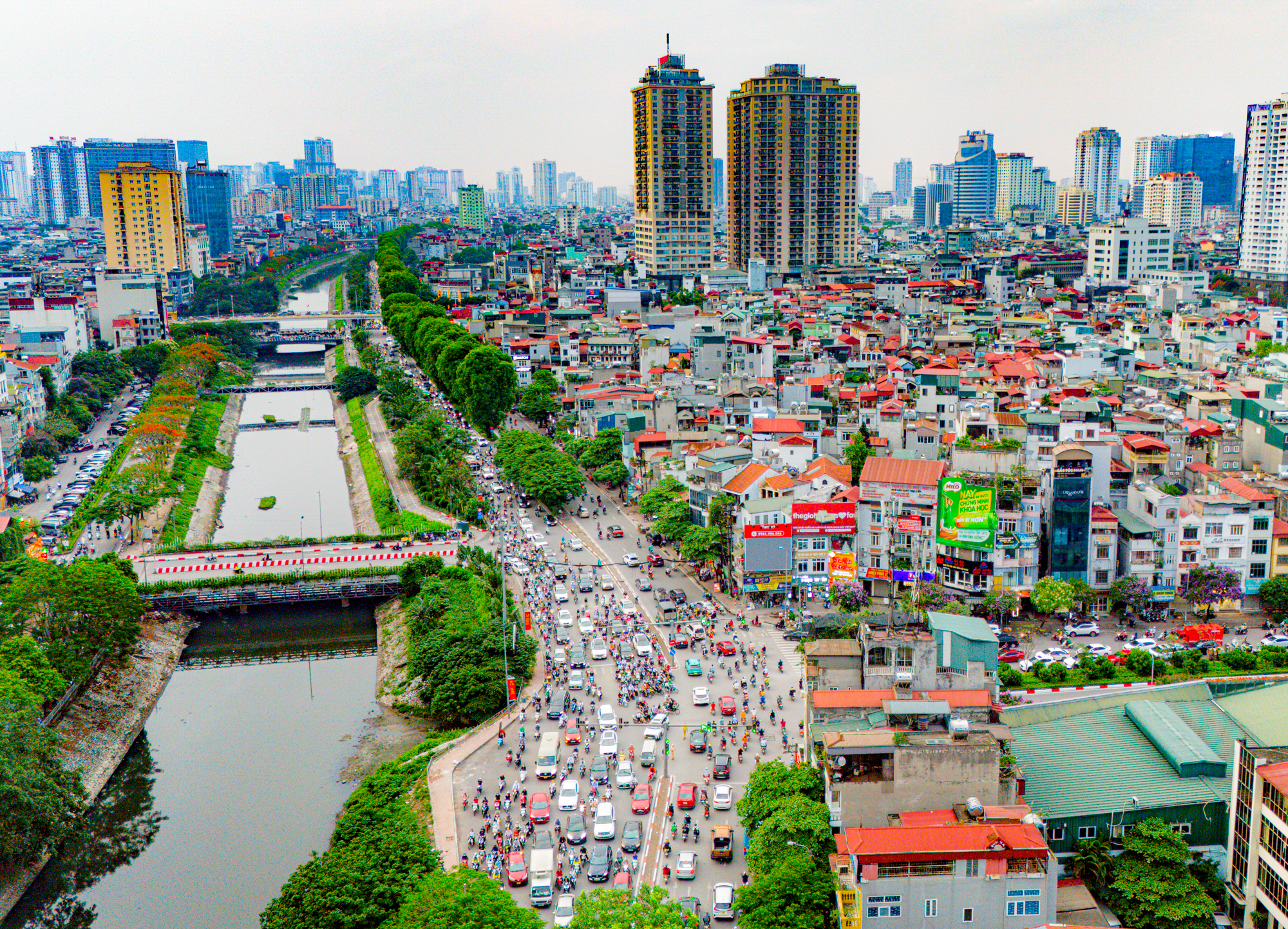
Currently, Ring Road 2’s section from Ngã Tư Sở to Cầu Giấy (overlapping with Đường Láng) is nearly 4 kilometers long and has not been widened or elevated. During peak hours, traffic congestion frequently occurs. Previously, the Hanoi Department of Transportation had implemented various traffic diversion schemes, but the congestion during peak hours has not improved significantly.
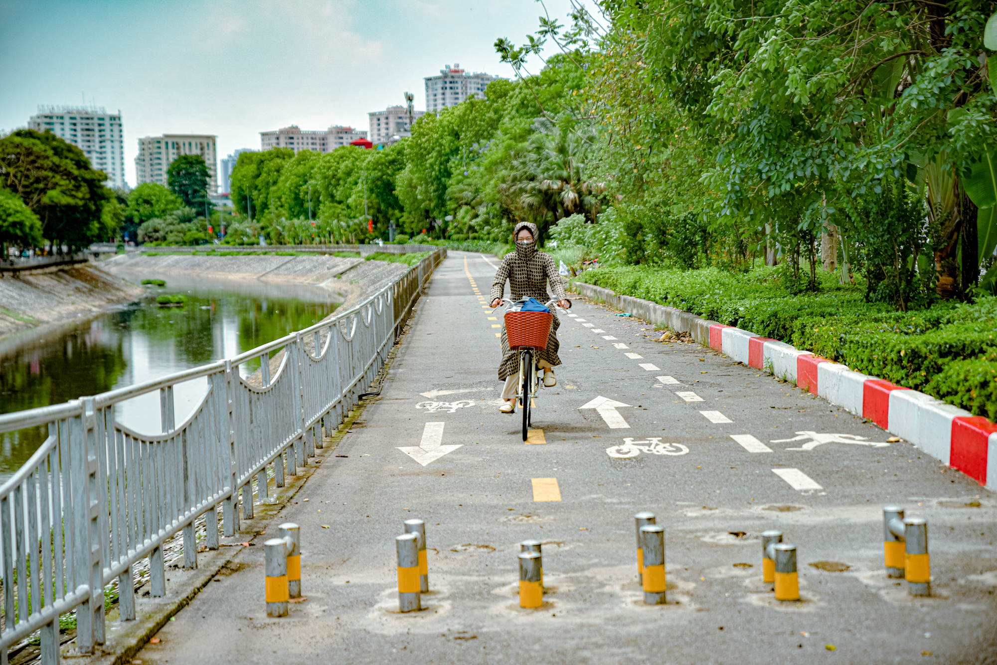
Đường Láng is also the first and only road in Hanoi with a dedicated bike lane. This 2.3-kilometer-long bike path runs along the Tô Lịch River.


