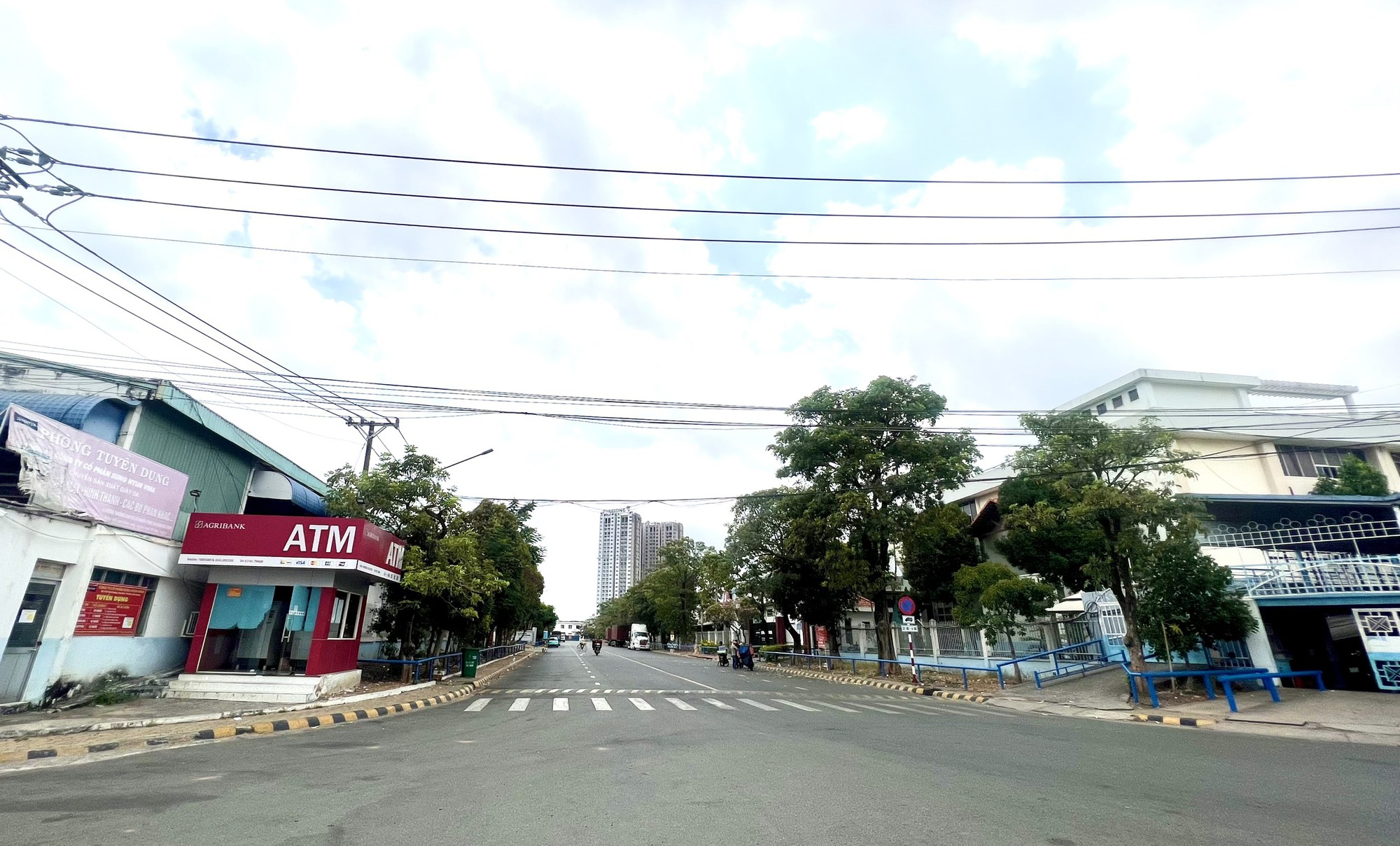
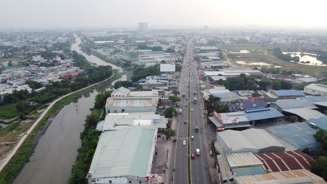
According to the Binh Duong Province Master Plan for the period of 2021-2030, with a vision towards 2050, the province focuses on developing a synchronous, modern, and smart urban, industrial, and service infrastructure system to expand its development space and achieve harmonious development between urban and rural areas. This includes the efficient exploitation and utilization of aerial, underground, ecological, digital, and cultural spaces. The province also aims to promote the formation of economic, industrial, urban, and service corridors along with transportation corridors connecting inter-regional areas.
By 2050, Binh Duong will have nearly 90 industrial zones
According to the plan, by 2030, Binh Duong Province will have 42 industrial zones (IZs) with a total area of approximately 18,600-21,000 hectares. This includes the continuation of 33 already-planned IZs, comprising 29 established IZs and 4 IZs under investment preparation. Additionally, 10 new IZs will be established, and a report will be submitted to the competent authority for permission to convert the function of 1 IZ (Binh Duong IZ).
During the period of 2031-2050, the focus will be on completing infrastructure investment and filling up the established IZs. Five to six new IZs will be added, and a report will be submitted to the competent authority for permission to convert the function of 7 IZs (Binh An, Tan Dong Hiep A, Tan Dong Hiep B, Song Than 1, Song Than 2, Dong An, and Viet Huong) in Di An and Thuan An cities to serve the province’s socio-economic development.
By 2050, there will be 41-42 IZs with a total area of approximately 25,000 hectares.

According to the plan, Binh Duong IZ in Di An City will undergo functional conversion
The IZs of Bau Bang 3, Bau Bang 4, Bac Tan Uyen 2, Dau Tieng 1A, Dau Tieng 5, and Bac Tan Uyen 4 are expected to allocate land for the relocation of industries in the southern part of the province.
It is proposed to implement 2 IZs following the model of science and technology parks (Lai Hung IZ and Binh Duong Riverside IZ) and 1 specialized mechanical IZ (Bac Tan Uyen 1 IZ). For newly established IZs, in addition to the multi-sector model, priority will be given to developing supporting IZs, specialized IZs, eco-IZs, and high-tech IZs.
By 2030, there will be 32 industrial clusters (ICs) with a total area of about 2,200 hectares. The orientation is to convert 3 existing ICs (Binh Chuan, An Thanh, and Tan Dong Hiep) and 1 unimplemented IC (Phuoc Hoa) that are no longer suitable for the plan.
By 2050, there will be approximately 40-45 ICs with a total area of about 3,000 hectares (including the establishment of 10-15 new ICs with a total area of about 700 hectares during the period of 2031-2050).
Allocating land for the construction of an airport in Dau Tieng District
In the Binh Duong Province Master Plan for the period of 2021-2030, with a vision towards 2050, the province focuses on developing national transportation routes within its territory, including the North-South Expressway in the West, Ho Chi Minh City – Chon Thanh – Hoa Lu Expressway, Ho Chi Minh City Ring Road 3, Ho Chi Minh City Ring Road 4, National Highway 1, Ho Chi Minh Road, National Highway 56B, National Highway 13B, and National Highway 13C. These developments will be implemented according to the master plan for the road network in the period of 2021-2030, with a vision towards 2050, approved by the Prime Minister.
Regarding the inter-provincial transportation system, Binh Duong connects to Ho Chi Minh City through National Highway 1, National Highway 13, National Highway 1K, DT.741, DT.743B, DT.745, DT.746, the Saigon River road, and Vinh Phu 10 (Inter-area 11) road, among others.

National Highway 13 connects Binh Duong and Ho Chi Minh City
Binh Duong – Dong Nai: Ho Chi Minh City Ring Road 4, National Highway 1K, National Highway 56B, DT.742C, DT.743, DT.746E, DT.746G, DT.747, Nguyen Thi Minh Khai Street, and Pham Van Dieu Street, including a bridge connecting Pham Van Dieu Street to Bien Hoa Airport, and a road from Tan Ba intersection (DT.747A, Tan Uyen) connecting to D21 road…
Binh Duong – Binh Phuoc: North-South Expressway in the West, Ho Chi Minh City – Chon Thanh – Hoa Lu Expressway, National Highway 13, National Highway 13B, National Highway 13C, Ho Chi Minh Road, DT.741C, DT.744B, DT.748, DT748B, DT.748C, DT.749B, and DT.750E, among others.
Binh Duong – Tay Ninh: North-South Expressway in the West, Ho Chi Minh Road, National Highway 56B, DT749B, DT.749E, DT.749F, and DT.750, among others.
Regarding the development plan for provincial-level transportation infrastructure, by 2030, there will be 43 provincial roads, including 16 existing roads and 27 newly added roads.
The national railway system will be implemented according to the master plan for the railway network in the period of 2021-2030, with a vision towards 2050, approved by the Prime Minister. A supplementary Bau Bang – Moc Bai railway line connecting Ho Chi Minh City – Loc Ninh railway and a railway line connecting the Central Highlands provinces with Ho Chi Minh City – Tay Ninh railway will be considered for construction.
Regarding urban railways, the investment and construction of 12 routes are under consideration, including Route 1 from Binh Duong New City to Suoi Tien; Route 1B from Tan Dong Hiep through An Binh Station to Go Dua Intersection; Route 2 from Thu Dau Mot to Binh Phuoc Intersection in Ho Chi Minh City; Route 3 from Tan Uyen Town to Go Dua Intersection (Ho Chi Minh City); Route 2B from Thu Dau Mot to Ben Cat Town; Route 2C from Thu Dau Mot to Cu Chi District in Ho Chi Minh City; Route 3 from Tan Uyen Town to Bac Tan Uyen District; Route 3B from Thu Dau Mot City to Bien Hoa City; Route 4 from Tan Uyen Town to Ben Cat Town; Route 5 from Thu Bien Bridge in Bac Tan Uyen to Phu Thuan Bridge in Ben Cat; Route 6 from Binh Duong New City to Bau Bang; Route 7 from Ben Cat Town to Dau Tieng; and Route 8 from Bac Tan Uyen to Phu Giao.
For inland waterways, the development of national inland waterway infrastructure, transport corridors, and local waterway transport routes in the province will follow the master plan for inland waterway infrastructure in the period of 2021-2030, with a vision towards 2050, approved by the Prime Minister.
Local inland waterway transport routes will be developed along the Saigon, Dong Nai, and Thi Tinh rivers. The system of ports and inland waterway wharves will include 18 ports.
Among these, the development of inland container depots (ICDs) aims to meet the demand for the transportation of import and export goods and increase the cargo handling capacity of the region’s seaport system in the Southeast region (including An Son ICD, Binh Hoa ICD (Tan Cang Song Than), TBS Tan Van Di An ICD, Thanh Phuoc ICD, Tan Uyen ICD, Ben Cat ICD cluster (An Dien ICD, An Tay ICD, and Rach Bap ICD), and Thanh An ICD). This development will be implemented according to the master plan for the development of the ICD system in the period of 2021-2030, with a vision towards 2050, approved by the Prime Minister.
The construction of Bau Bang and Lai Hung ICDs in Bau Bang District, Vinh Tan ICD in Tan Uyen City, Bac Tan Uyen ICD in Bac Tan Uyen District, An Binh ICD at the An Binh main station in Di An City, Riverside ICD in Ben Cat City, and ICDs at other planned transportation hubs and industrial clusters is under consideration.
The plan also states that Binh Duong Province will allocate reserve land for the research and consideration of constructing an airport in Dau Tieng District, with an area of approximately 200-500 hectares, depending on actual conditions and needs.


