The People’s Committee of Hanoi has issued Decision No. 2595/QD-UBND approving the redline boundary of Dang Thai Mai road (Tay Ho district), phase 1, at a scale of 1/500.
Accordingly, the road has a length of about 1.3km, starting at the intersection with Xuan Dieu street and ending at the Tay Ho villa area.
The route direction is determined based on the existing Dang Thai Mai road, in accordance with the master plan for the Hồ Tây and surrounding urban area subdivision (A6) and the local adjustment of the master plan for the Hồ Tây and surrounding urban area subdivision (A6) at planning blocks 16, 17, 19, and the approved roads in the area by Hanoi People’s Committee.
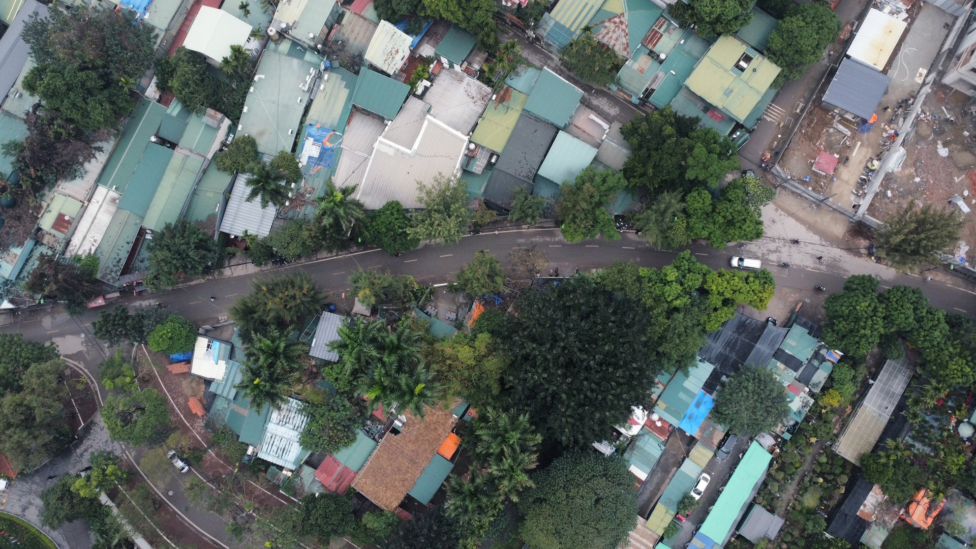
Hanoi has recently approved the redline boundary of Dang Thai Mai road (Tay Ho district), phase 1, at a scale of 1/500.
In terms of characteristics, the section from Xuan Dieu street to alley 35 Dang Thai Mai is a landscape axis of the Quang An peninsula area.
The cross-section scale of the road is divided into 2 sections:
Section 1, from the intersection with Xuan Dieu street to alley 35 Dang Thai Mai, has a wide cross-section of 93.6m, including two lanes of traffic, each lane is 19-21m wide (road width of 15m, urban sidewalk width from 4-6m), and a 51.6m-wide landscape axis in the middle.
Section 2, following section 1 to the end of the route, has a cross-section width of 20.5m, including a road width of 11.25m and sidewalks on both sides of 2 x 4.625m.
The specific cross-section components will be accurately determined according to the approved construction investment project for the road.
The People’s Committee of Hanoi assigned the Tay Ho district People’s Committee to lead and coordinate with the Hanoi Institute of Planning and Architecture and relevant units to publicly announce the approved redline boundary for the road, so that relevant organizations and individuals can be informed and implement accordingly.
At the same time, strict land management and construction order will be enforced on both sides of the road according to the approved redline boundary for the road.
In addition, boundary markers will be installed according to the approved redline boundary for the road, along with the implementation of land recovery and resettlement (during the implementation of the investment project).


