


 Reports September 2025 Profits at Just 31% of Previous Year’s Level")


: Will the Recovery Trend Continue?")


: A Mixed Bag of Wins and Woes")
The People’s Committee of Dong Nai Province has recently issued a plan to implement the competition “General Urban Planning Ideas for Long Thanh Airport and Surrounding Areas.” With prize structures ranging from 500 million VND to 2 billion VND, Dong Nai Province will select innovative and breakthrough ideas, as well as important content to be included in the adjusted urban planning of Long Thanh until 2045.
The province has assigned the Department of Construction to establish a council and organize the competition starting from April 2024, and the results will be announced in mid-August 2024. As there is no specific planning and drawing available, the following are visual images of the future created by AI Chat GPT:
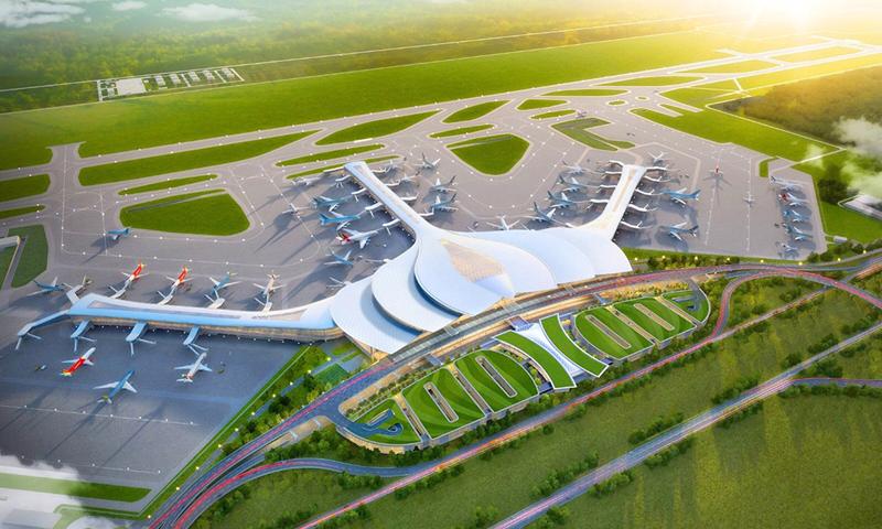
The Airports Corporation of Vietnam (ACV) is the investor of the Long Thanh International Airport project, with a total estimated investment of about 336.630 trillion VND (equivalent to 16 billion USD), divided into 3 stages. Phase 3 (after 2030) will serve up to 100 million passengers per year with 4 runways. “Dong Nai holds great potential for the country, an important comparative advantage. Therefore, Long Thanh urban area must develop to match,” affirmed Nguyen Hong Linh, Secretary of the Provincial Party Committee. The image shows the design concept of the Long Thanh International Airport. Photo: Airports Corporation of Vietnam.

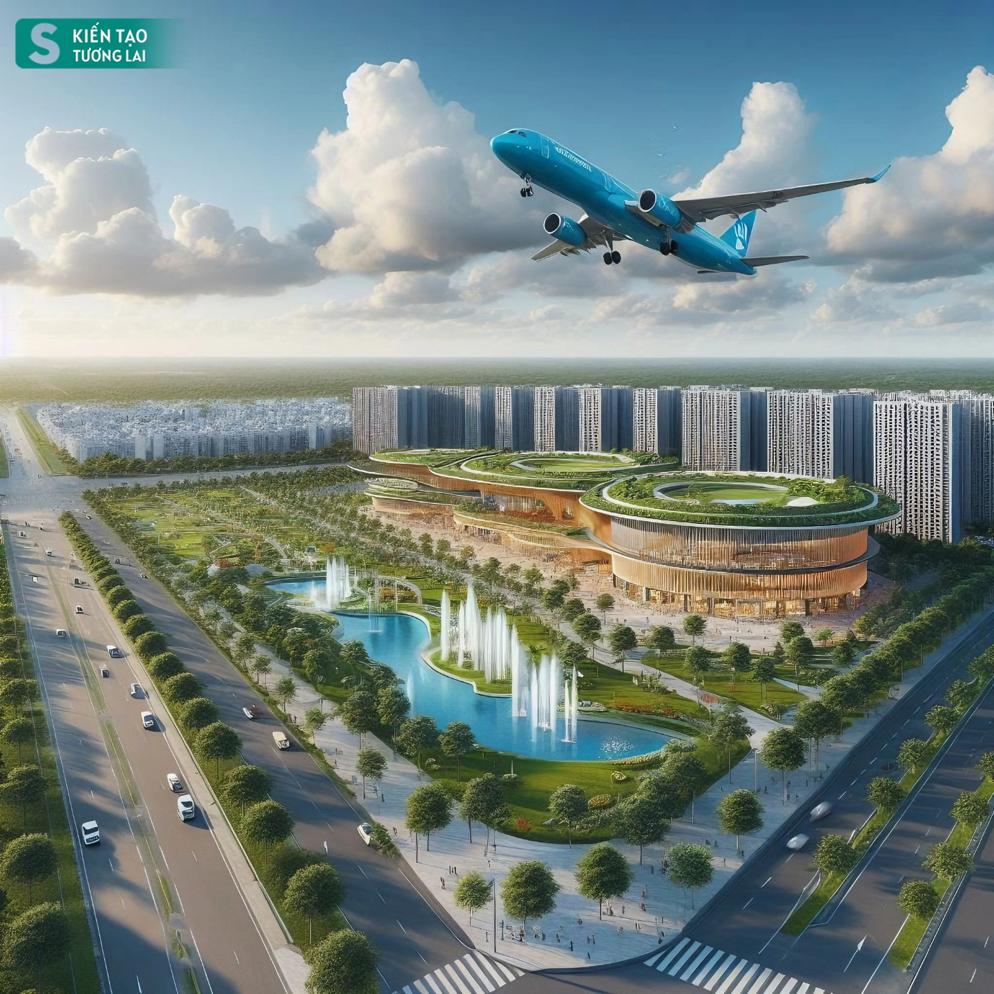
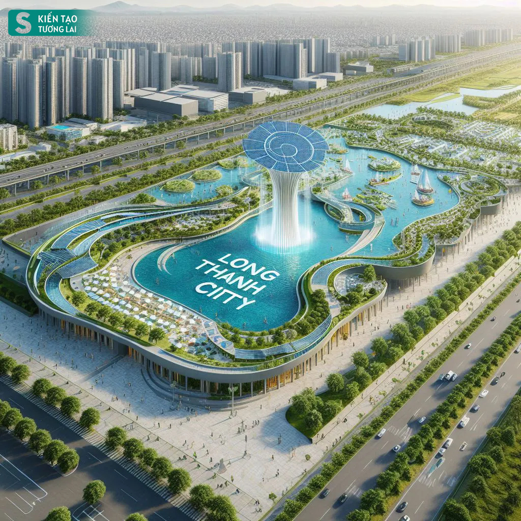
According to the requirements and orientations of Dong Nai Province, the Long Thanh Airport City will have functional zones, including: Commercial services, finance, event organization; logistics development area, industrial area, high-tech industry, biotechnology;

Urban area (expanded Long Thanh urban area, Binh Son, Phuoc Thai); cultural, sports, tourism, resort area and research and education area.
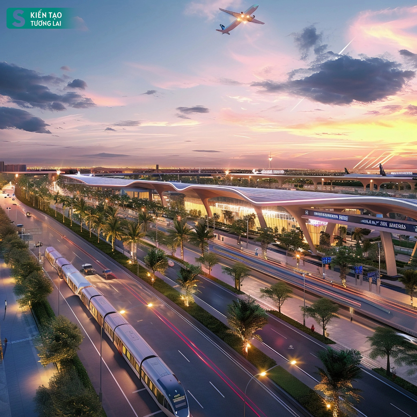
ACV said in the approved master plan for Long Thanh International Airport, both the North-South high-speed railway and the Thủ Thiêm – Long Thanh light railway will run along and entirely within the internal trunk line of Long Thanh Airport, within a 40m space between the internal port trunk lines.
According to the proposal in the current feasibility study of the high-speed railway project prepared by the Transportation Design Corporation (Tedi), the railway station will be located underground within the main axis within 220m in front and 35m from Terminal 1. Once operational, this project will be connected by the pedestrian bridge system to ensure convenient travel for passengers from Terminal 1 through car park T1 to connect to the railway station.
Zone 2, according to the plan, will include existing residential areas, smart urban areas, resettlement areas, and airport cities. It is planned to cover an area of 15,000ha, connecting 3-4 urban areas to form an urban cluster.
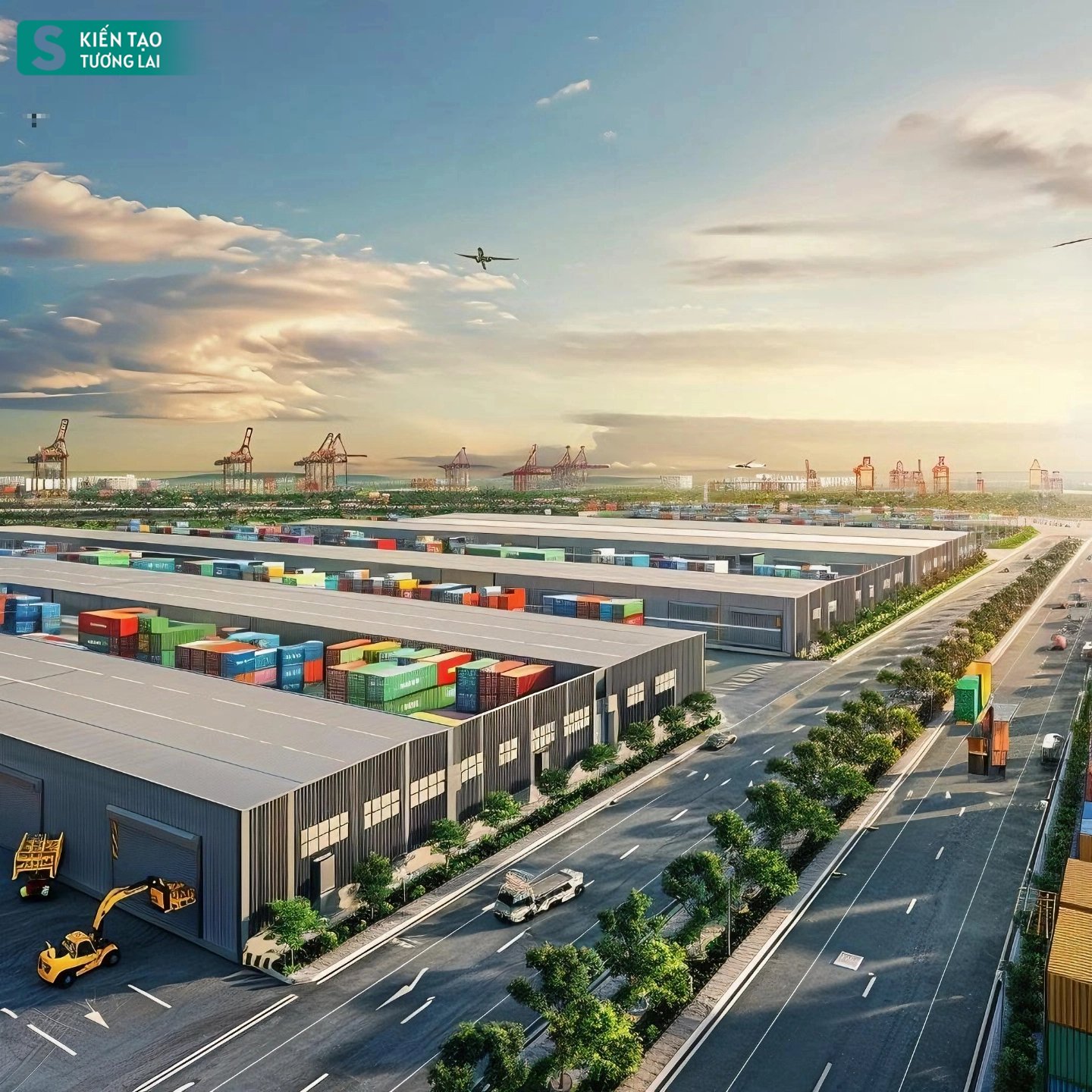
According to the Ministry of Construction of Dong Nai Province, the functional areas of the areas surrounding Long Thanh Airport will be planned according to the satellite city model, located 15km from the airport and divided into 5 zones. In which, zone 1 is support functions: hub warehouses, industrial zones, Long Thanh Airport Logistics Zone, airport support area. Secretary of Dong Nai Provincial Party Committee Nguyen Hong Linh emphasized that a locality with both an airport and a seaport is a huge advantage.
Zone 4 consists of tourism, services, and sports areas covering an area of about 2,000ha. Zone 4 is located about 10km from the airport.
Zone 3 is a large-scale service – commercial area covering an area of about 5,000ha, located at the entrances of the airport.

This zone is designed for amusement parks, duty-free commercial areas, aviation support services… Zone 4 consists of tourism, services, and sports areas covering an area of about 2,000ha. Zone 4 is located about 10km from the airport.

The buffer zone, about 10km away from the city, will be arranged for green agriculture, high-tech, modern development.
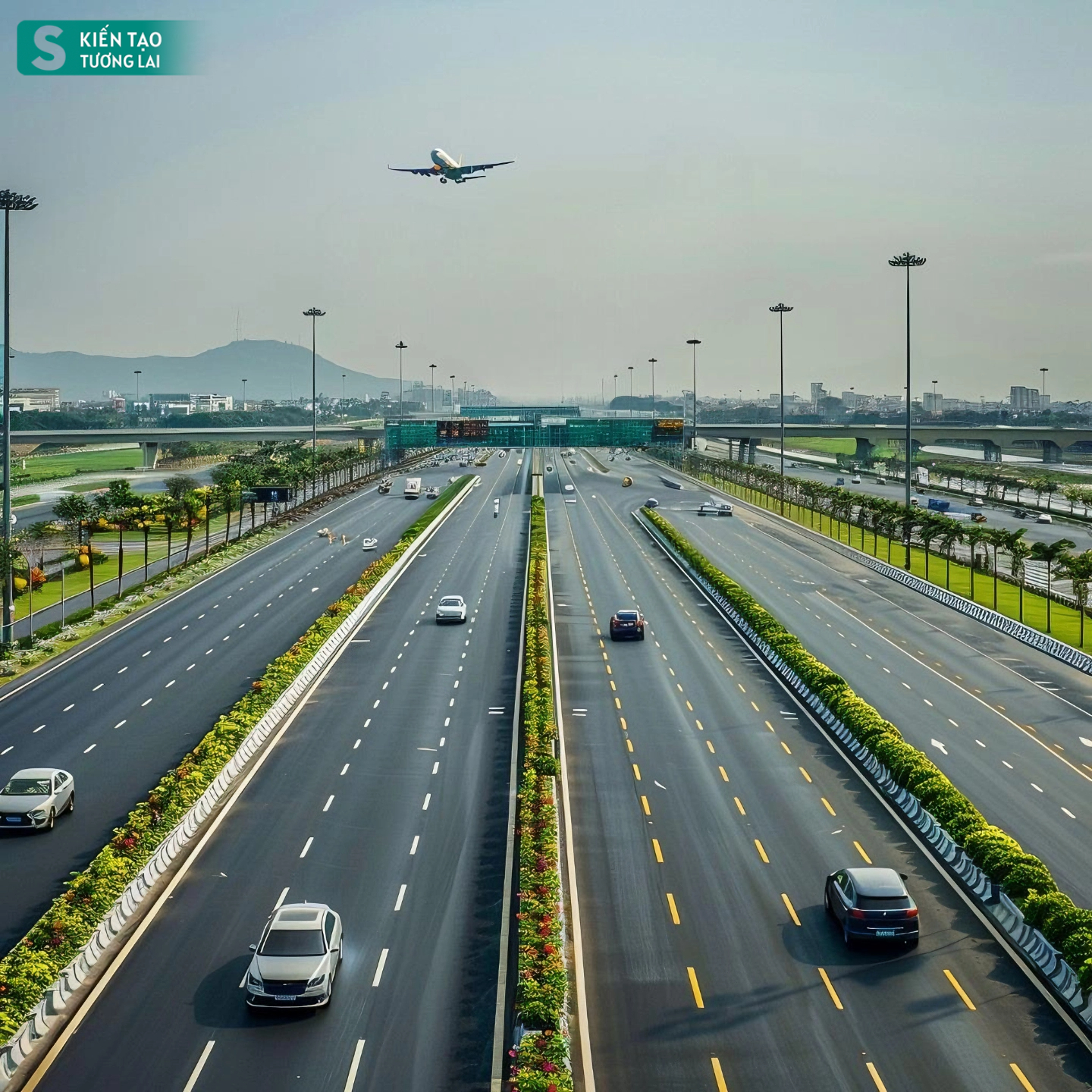
Transportation route 1 connects Long Thanh Airport with Ho Chi Minh City and western provinces. Route 2, with a length of 3.5 km, is located on the Bien Hoa – Vung Tau expressway section between the Ho Chi Minh City – Long Thanh – Dau Giay expressway. Both routes play an important role in connecting Long Thanh Airport with the Ho Chi Minh City – Long Thanh – Dau Giay expressway as well as the western routes of the airport.

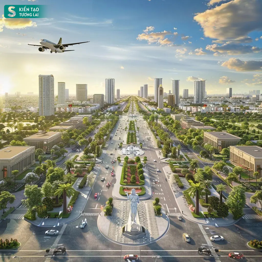
Long Thanh aims to develop into a type III urban area by 2030 and a type II urban area after 2030. It is forecasted that by 2030, Long Thanh will have a population of about 340-370,000 and by 2045, a population of about 480-500,000.


