Increasing the Total Length of the Expressway Network Plan
The Vietnam Road Administration has recently submitted to the Ministry of Transport for approval adjustments to the Road Network Plan for the period 2021-2030, with a vision towards 2050. This adjustment proposal includes significant changes compared to the plan previously approved by the Prime Minister in 2021.
Specifically, the total number of expressways according to the approved plan has increased from 41 routes with a total length of approximately 9,014 kilometers to 43 routes.
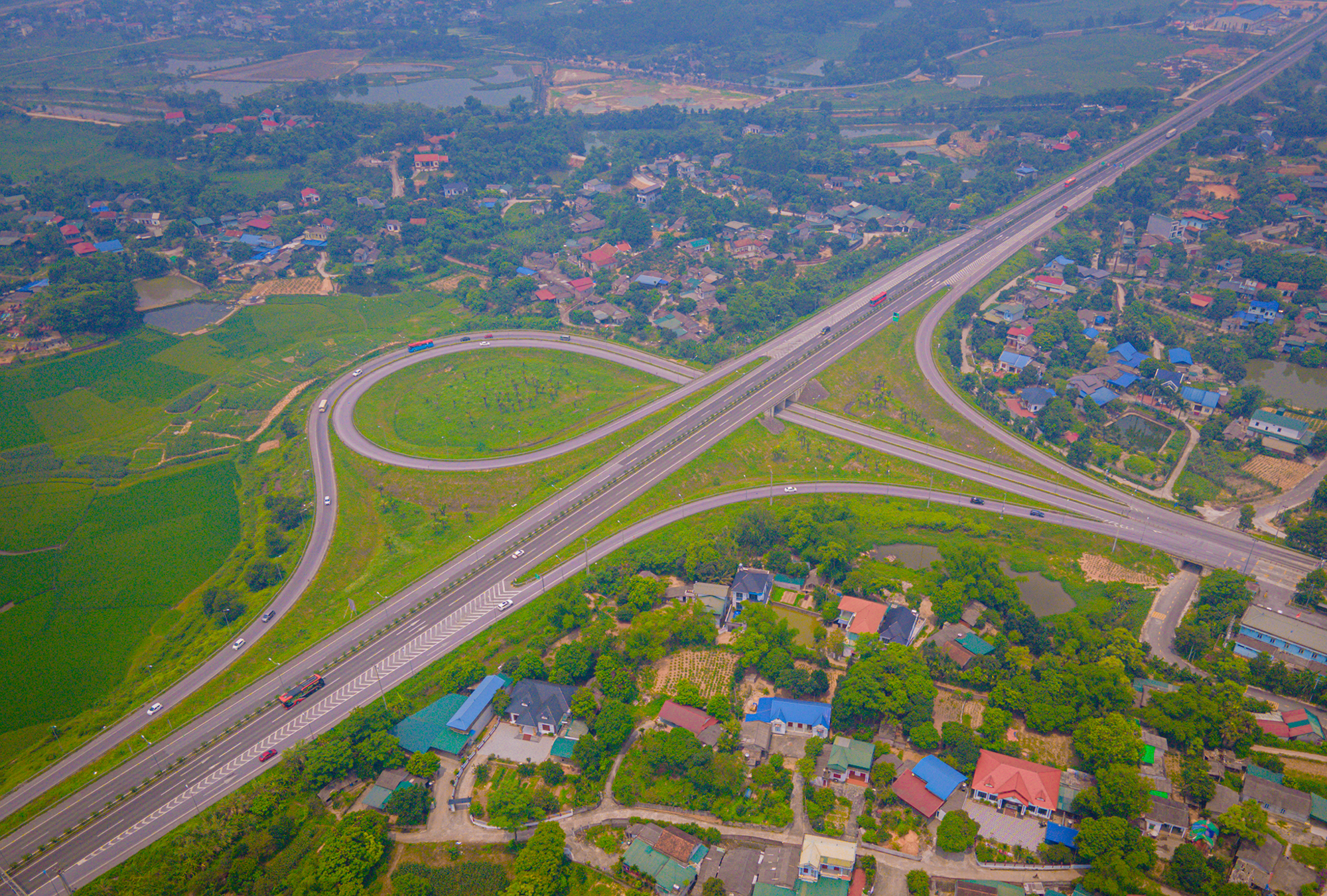
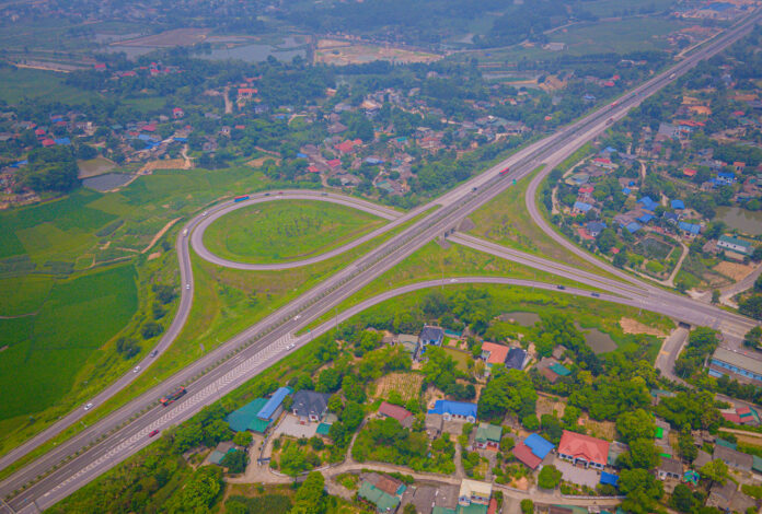
Expressway connecting Tuyen Quang and Phu Tho. Photo: Thao Quyen
In the Northern region, the number of routes has increased from 14 with a length of about 2,305 kilometers to approximately 2,313 kilometers. In the Central and Central Highlands regions, the number of routes has increased from 10 with a length of about 1,431 kilometers to 11 routes with a length of about 1,496 kilometers. Similarly, the Southern region has seen an increase from 10 routes with a length of about 1,290 kilometers to 11 routes with a length of about 1,380 kilometers.
The North-South Expressway in the Eastern region, stretching from Huu Nghi border gate in Lang Son province to Ca Mau city in Ca Mau province, with a length of about 2,063 kilometers, will retain its original length. However, the scale has been upgraded from 6 to 12 lanes, as opposed to the previously planned 4 to 10 lanes.
Consequently, after these adjustments and additions, the total length of the expressway network planned to be achieved by 2050 is estimated at approximately 9,234 kilometers – a record-breaking number, surpassing the previous plan by about 220 kilometers.
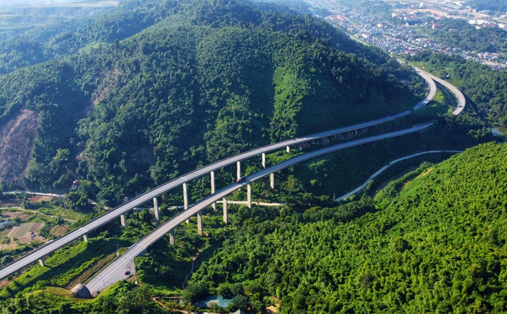
Noi Bai – Lao Cai Expressway. Photo: Lao Cai Newspaper
It is expected that by 2030, approximately 6,754 kilometers of expressways will be completed, an increase of about 633 kilometers compared to the previous plan. The remaining routes, totaling about 2,480 kilometers, are planned for investment after 2030.
Two New Expressway Routes Added to the Plan
For the first time, the adjusted Road Network Plan for the period 2021-2030, with a vision towards 2050, proposes the addition of two new expressways: Ca Mau – Dat Mui and Quang Ngai – Kon Tum.
The Ca Mau – Dat Mui Expressway, with a length of about 90 kilometers and a scale of 4 lanes, is planned for implementation after 2030. The inclusion of this route in the plan aims to meet the anticipated increase in transport demand in the future, and the local authorities have also proactively studied and included it in the provincial plan.
As per the plan, the Ca Mau – Dat Mui Expressway will run parallel to National Highway 1 and the Ho Chi Minh Road until it reaches Rach Goc town, and then continue to Dat Mui in Ngoc Hien district, Ca Mau province. This alignment aims to leverage the advantages of the future Hon Khoai Comprehensive Seaport.

Illustrative image of the future expressway passing through Ca Mau province. Image source: AI ChatGPT
Together with the East-West transversal routes, the Ca Mau – Dat Mui route will serve as a pillar for the development of the marine economy, harnessing the potential and strengths of the southernmost region of the country, while also ensuring national defense and security.
The Vietnam Road Administration also proposed that after being included in the plan, this route will not be part of the North-South Expressway system in the Eastern region to ensure that the goal of completing the North-South Expressway in the Eastern region by 2025 remains unaffected.
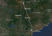
Regarding the Quang Ngai – Kon Tum Expressway, this route is approximately 136 kilometers long and features a scale of 4 lanes. It is planned for investment before 2030. The inclusion of this expressway in the plan aims to maximize the development advantages of the nation, region, and local areas.
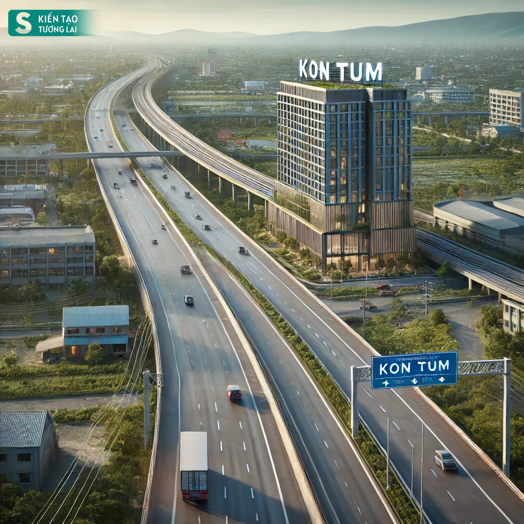
Illustrative image of the future expressway passing through Kon Tum province. Image source: AI ChatGPT
The starting point of this route connects with the North-South Expressway in the Eastern region through Duc Pho town in Quang Ngai province. From there, the route passes through Mang Den pass, running parallel to the Măng Đen Airport project (under investment consideration), and continues to Kon Tum city, intersecting with National Highway 14E, before ending at the North-South Expressway in the Western region.
Upon completion, this project will become a driving force for the development of the Central Highlands region, addressing the infrastructure and regional connectivity challenges. It will also help realize the economic corridor of Bo Y – Kon Tum – Mang Den – Quang Ngai.
Vice Chairman of Tay Ninh: Developing transportation as a driving force for economic growth
The strong development of transportation infrastructure in Tay Ninh not only symbolizes modernization but also acts as a driving force for local economic growth.

