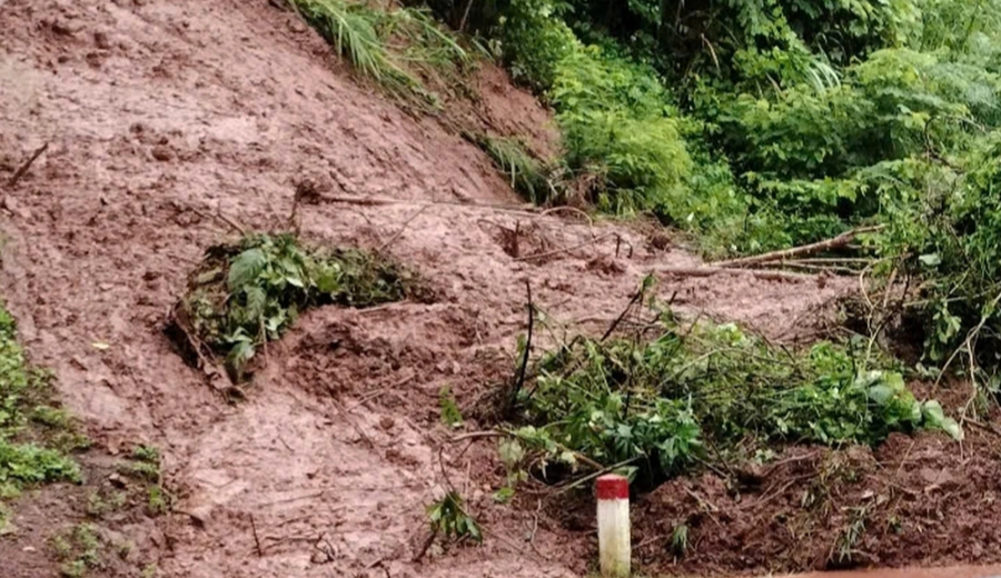
Heavy rains have triggered dangerous landslides in the mountainous county of Tuong Duong, particularly in Tam Quang commune. According to local authorities, there are currently dozens of locations prone to landslides if the rain persists.
Multiple roads are at risk of landslides, including National Highway 7A through Mon village and Thach Giam town, Road 543C, and National Highway 7A in the vicinity of Kien and Pung villages, Luu Kien commune.
The downpour on the evening of September 10 caused landslides in Ky Son county, specifically in My Ly, Bac Ly, Muong Long, and Ta Ca communes. The most severely affected area was Provincial Road 343, which connects Muong Xen town to Ta Ca, Muong Tip, Muong Ai, Na Ngoi, Nam Can, and Luu Kien communes (in Tuong Duong county).

On September 11 morning, the water levels rose, and the currents intensified at two spillways on Khe Xop Tu, Km16 + 610 section of Road 543, forcing vehicles heading to My Ly commune to divert to National Highway 16 through Bac Ly commune.
Additionally, on the same morning, several mountain landslides occurred on the road connecting Muong Ai and Muong Tip communes to Muong Xen town in Ky Son county.
The intense rain also triggered landslides and blockages on National Highway 16, particularly in My Ly, Bac Ly, and Muong Long communes. A significant landslide occurred in Sa Vang village, Ta Ca commune, where a large volume of soil and rocks tumbled down the hill, spilling onto the Nam Mo river. The landslide extended for about 15-20 meters on Road 343. As of now, there are over 60 hazardous landslide sites across Ky Son county.

Previously, in Cha Nga village, My Ly commune, Ky Son county, more than 50 landslides occurred, isolating all roads to the village. Over 93 households, comprising 422 individuals, were completely cut off from the outside world, preventing students from attending school even a week into the new academic year. On September 11 evening, local authorities ventured into the blocked area to encourage and support the affected community and reassure teachers to remain in the village and continue teaching.

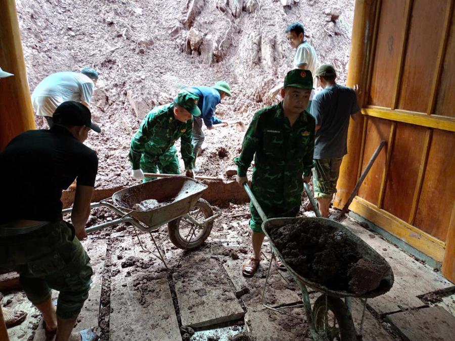
In Que Phong county, landslides occurred in Thong Thu and Nam Giai communes during the night of September 10. Large boulders tumbled down onto National Highway 48 in Thong Thu commune, prompting authorities to initiate clearance work on the morning of September 11.
Meanwhile, Pieng Lang and Puc villages in Nam Giai commune were isolated due to landslides on the sole road connecting them. The Nam Giai Commune People’s Committee mobilized the military, police, commune officials, and local residents to collaborate in restoring the buried road as soon as possible.
The Next Downpour: Preparing for Flash Floods and Waterlogged Woes in Thanh Hoa
In the coming days, heavy rain and thunderstorms are expected to hit Thanh Hoa. The local authorities are taking proactive measures to tackle the situation, adhering to the “4-pronged strategy”.
The Industry Unites: Responding to Northern Floods
In the coming days, the northern mountainous and midland regions of Vietnam are expected to experience heavy rainfall, with totals ranging from 100 to 200 mm, and even exceeding 350 mm in some areas. This extreme weather conditions pose a significant threat of flash floods, landslides, and localized flooding in low-lying areas. The potential for large-scale flooding, mudslides, and landslides is extremely high, and residents in these regions should prepare for potential disasters and remain vigilant.


