The Land Management Department (Ministry of Agriculture and Environment) has issued a directive to the Departments of Agriculture and Environment in provinces and centrally-governed cities, guiding local authorities in updating land databases according to the two-tier administrative structure post-merger and assigning unique land plot identifiers in areas with cadastral data.
Former provincial administrative units are required to update and consolidate cadastral data to unify land databases under the new provincial structure. Once updated, this land plot data will be utilized by citizens and businesses for land-related procedures.
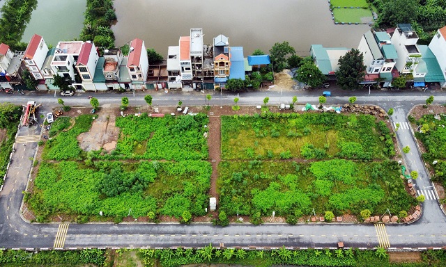 The Land Management Department mandates that localities with cadastral databases implement land plot identifiers, ensuring each plot has a unique code.
|
According to the guidelines, a land plot identifier (ID) is a 12-character string encoded based on the plot’s geographic location in the WGS84 international coordinate system.
The land plot ID is generated using the GeoHash algorithm, which encodes geographic coordinates (latitude and longitude) into a concise alphanumeric string.
The land plot identifier system is outlined in Circular 09/2024 issued by the former Ministry of Natural Resources and Environment.
The process of creating a land plot ID involves four steps: identifying the plot’s characteristic point, converting coordinates from Vietnam’s system to the international system, encoding the characteristic point’s location, and updating the spatial land plot database.
In areas without cadastral data, management agencies will collect land use certificates and citizen identification cards from owners to establish initial data for each plot. After verification, commune-level People’s Committees will update this information into the national land information system.
The Land Management Department urges the Departments of Agriculture and Environment to promptly update land databases and include land plot identifiers. This aims to facilitate integration with the national address platform, digital address system, and other national databases.
Ninh Phan
– 08:45 12/09/2025
Two New ‘Red Book’ Regulations Bring Significant Benefits to Citizens

The new Decree No. 226, effective from August 15, 2025, brings about significant changes to land use certificate (red book) issuance regulations. The decree introduces streamlined administrative procedures and extends the period for land use fee credit. These amendments are designed to simplify the process of obtaining a land use certificate and provide greater flexibility for landowners.


