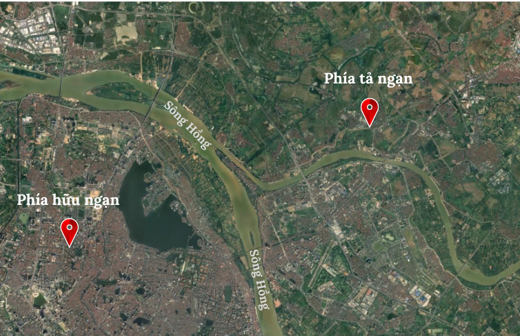
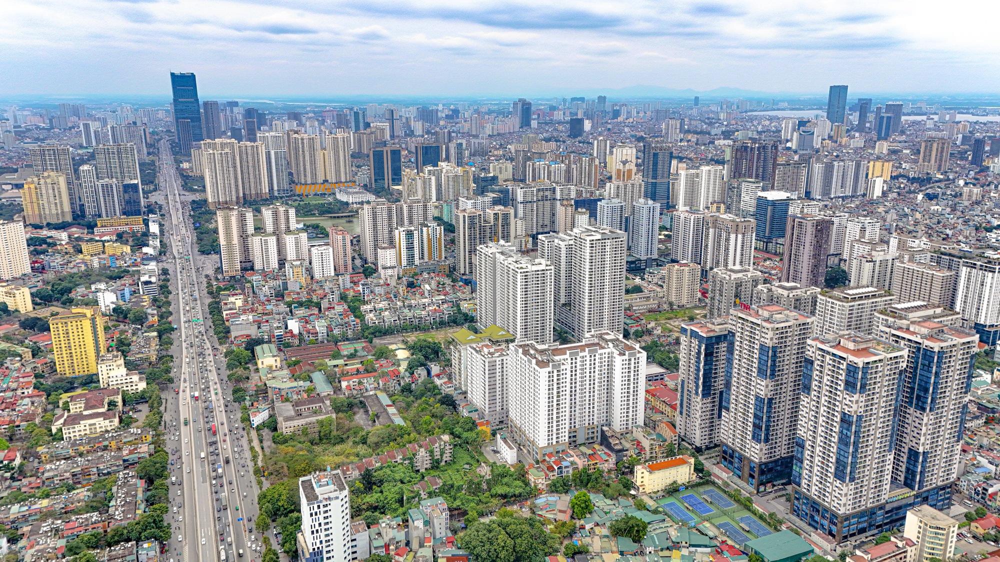
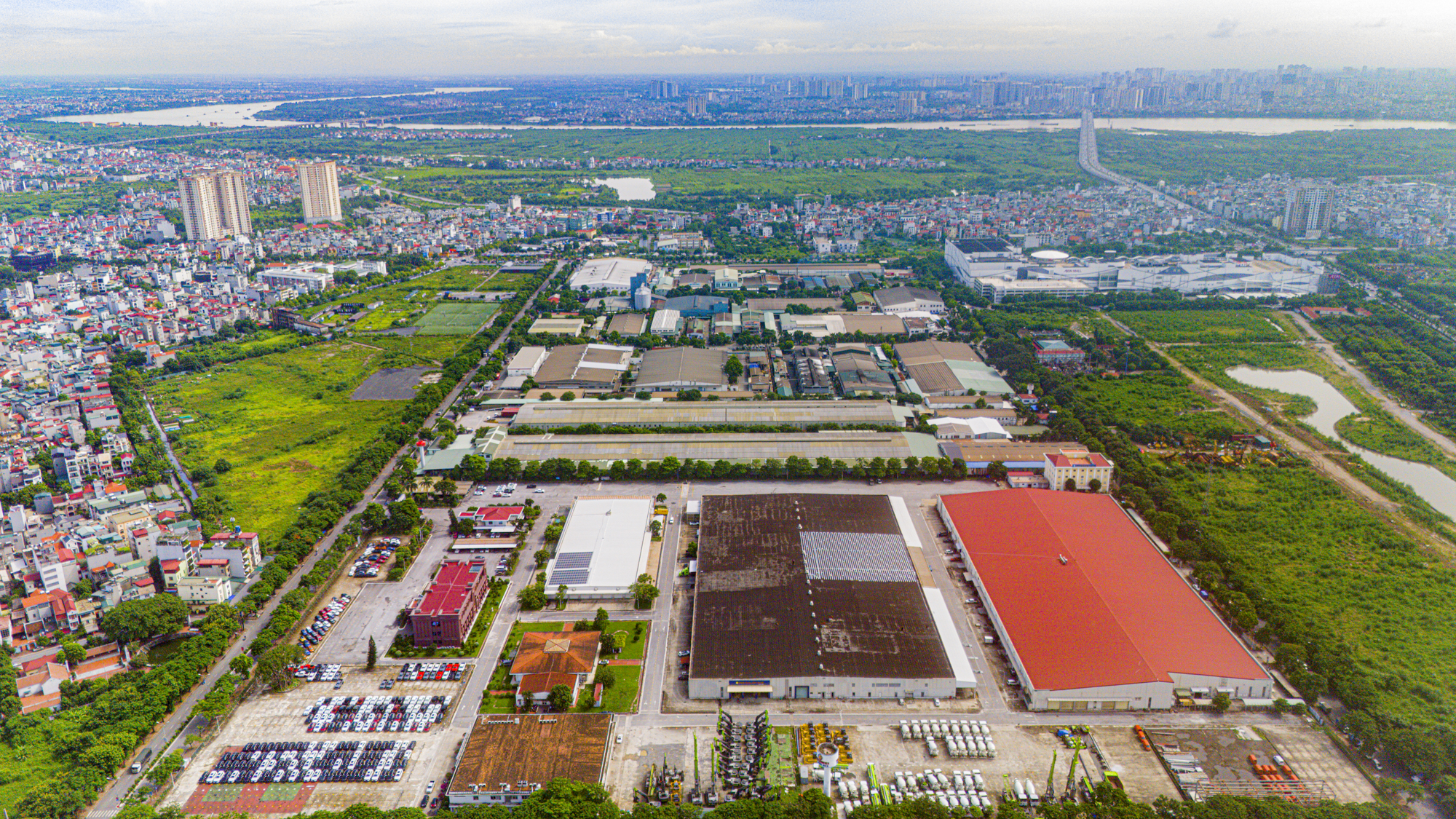
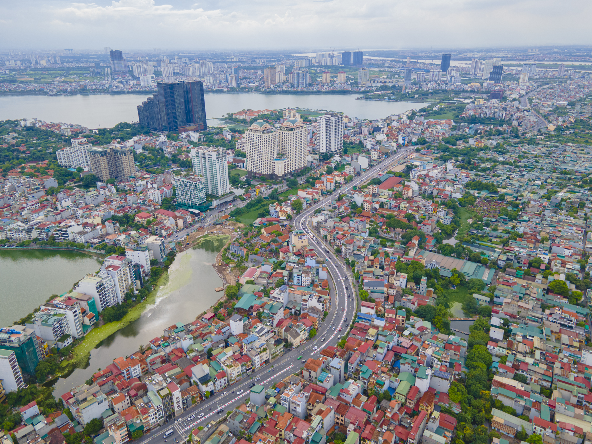
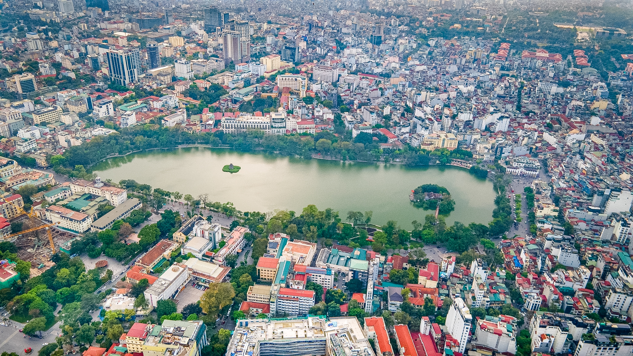
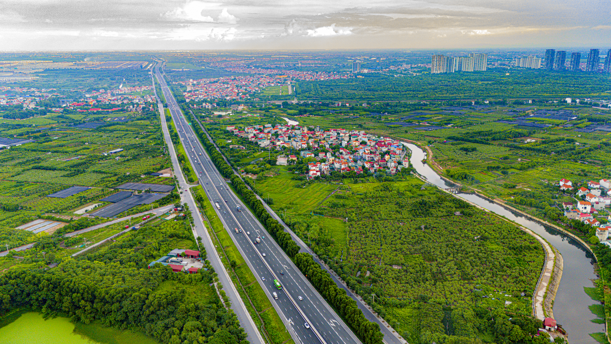
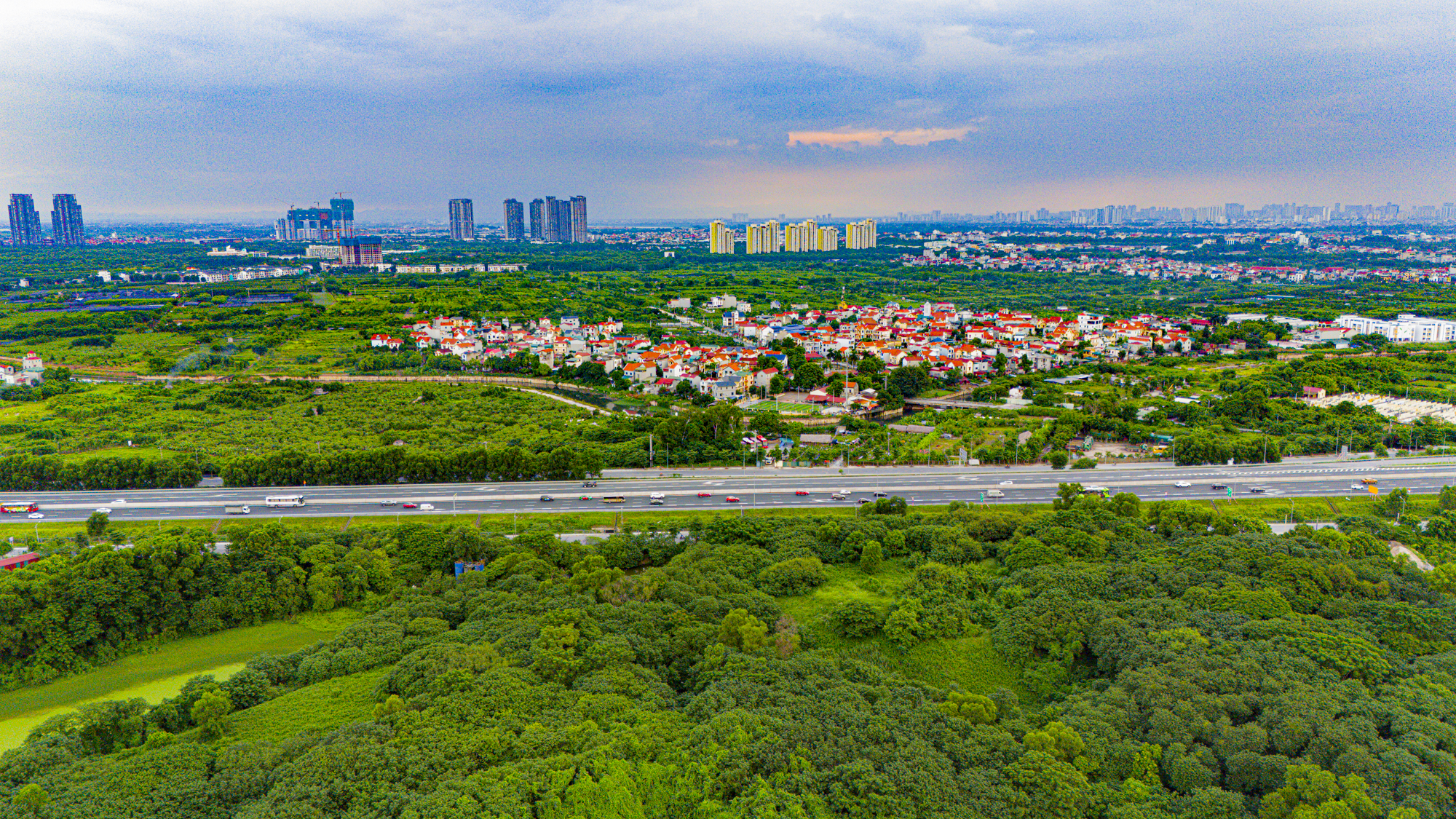
Observing the 2025 Google Earth satellite imagery, the right bank of the Red River, encompassing former districts like Hoan Kiem, Ba Dinh, Hai Ba Trung, and Tay Ho, is almost entirely covered by a dense network of streets and residential areas. In contrast, the left bank, including Long Bien, Dong Anh, and Gia Lam, still retains vast agricultural lands interspersed with sparse residential areas. This stark difference highlights the developmental disparity between the two riverbanks.
The development gap is vividly reflected in land prices. According to Hanoi’s 2025 land price table, the highest rate is recorded at Hang Ngang, Hang Dao, and Tran Hung Dao streets (formerly Hoan Kiem) at 695.3 million VND/m².
Just a few hundred meters from Chuong Duong Bridge, the highest land price in Long Bien, as per the state’s table, is only around 126 million VND/m².
In Quan Thanh Ward, land on Phan Dinh Phung Street is priced at 450.8 million VND/m², while many streets along West Lake range between 120–180 million VND/m².
According to Batdongsan.com, actual transactions for townhouses in Hoan Kiem often exceed 1 billion VND/m², with some areas in Hang Ngang – Hang Dao reaching nearly 2 billion VND/m². Conversely, in Long Bien, around Aeon Mall or Co Linh Street, the highest land prices are only slightly over 400 million VND/m².
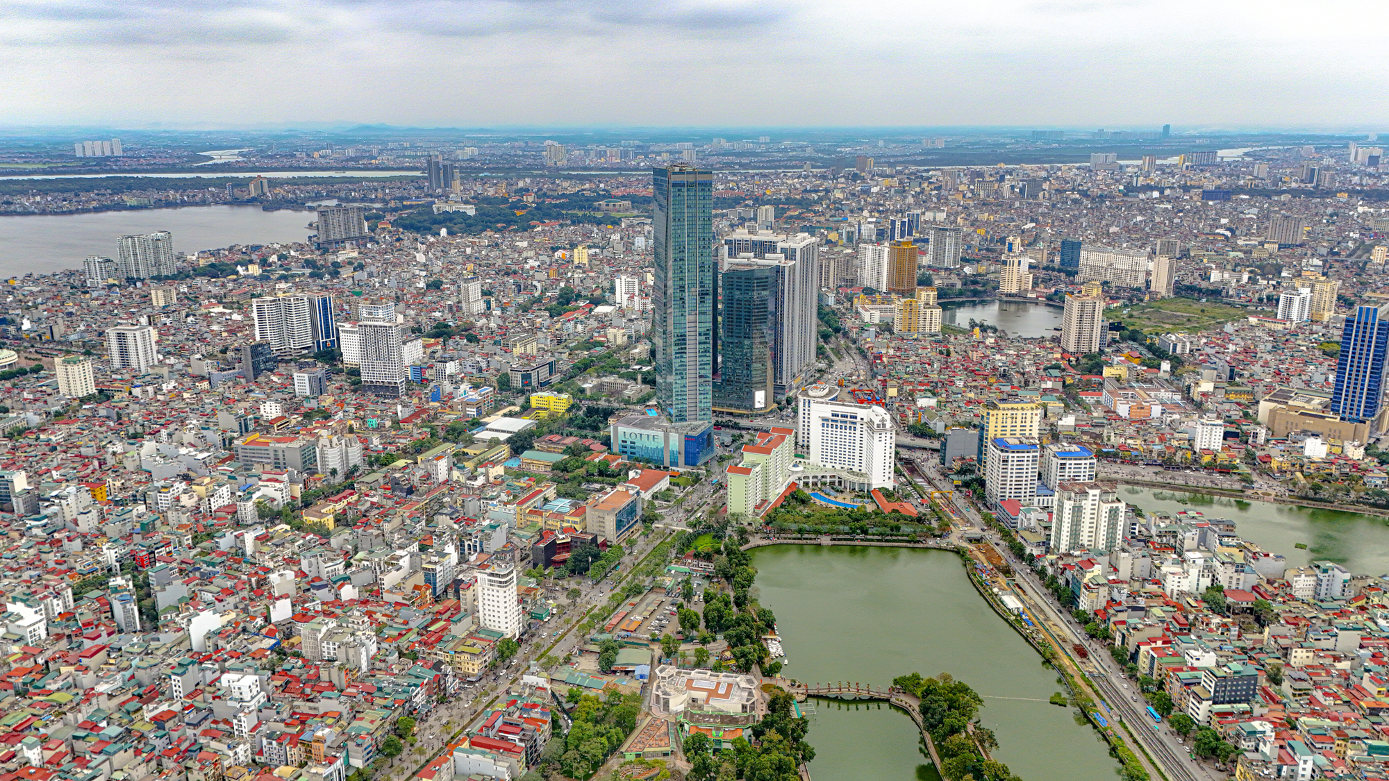
Despite Hanoi constructing nine bridges connecting the two riverbanks, infrastructure remains uneven. The left bank houses administrative agencies, commercial centers, financial hubs, universities, and major hospitals. In contrast, the right bank lacks significant population attractors and large-scale service centers. Thus, bridges only address transportation, not urban development disparities.

Globally, many capitals have leveraged their central rivers as development axes. Paris’ Seine River banks feature museums, historical landmarks, and commercial zones. Seoul’s Han River banks are developed symmetrically, becoming the city’s backbone. Shanghai transformed the Huangpu River banks into a financial and tourism hub, attracting millions annually. A common thread is the balanced development of both riverbanks, leaving neither side underutilized.
Hanoi now has an opportunity to shift its one-sided development with the 2022-approved Red River Urban Sub-Zone Plan. According to Luu Quang Huy, Director of Hanoi Urban Planning Institute, while people once said “Hanoi turns its back on the Red River,” the new plan will have “Hanoi facing the Red River for development.”
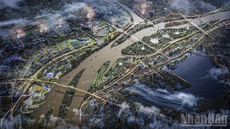
Recently, the 300 trillion VND Red River Boulevard – Landscape project, proposed by Deo Ca – Van Phu Invest consortium, has garnered attention. The project includes an 80 km riverside boulevard along both banks from Hong Ha Bridge to Me So Bridge, integrated with modern urban areas, parks, and commercial centers.
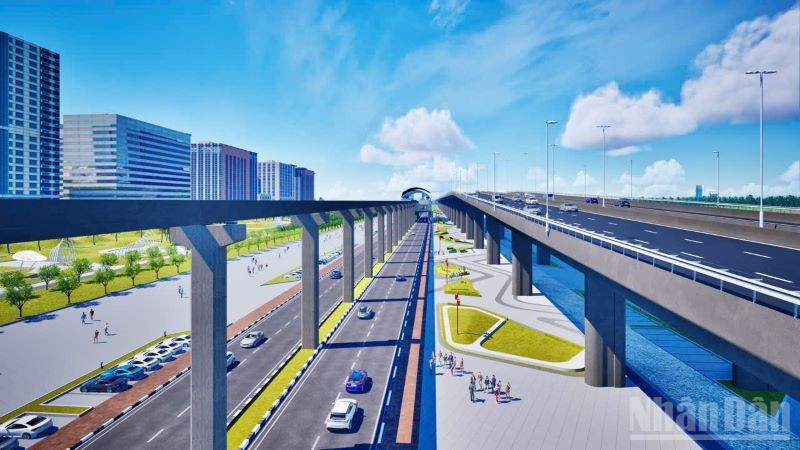
Additionally, an 84 km monorail system, with 82 km of elevated tracks and 2 km of tunnels, is planned. The project also allocates 3,300 hectares for green spaces, 8 parks, and public areas, transforming the riverside into a unique landscape for services and tourism. This could balance development across both banks while alleviating population and infrastructure pressures in the overcrowded Old Quarter.
With its massive scale, the Red River Boulevard – Landscape project, if approved, will become Hanoi’s largest infrastructure and urban development initiative to date. Investors anticipate a ripple effect, boosting land prices in Dong Anh, Gia Lam, and Long Bien, attracting further social capital, and creating new growth poles.
If this mega riverside project materializes, the capital could enter a new era where the Red River is no longer a “boundary” but the central axis of a modern, balanced urban landscape.
Private Equity Illuminates Đà Nẵng’s Grand Industrial Hub

Da Nang is experiencing a remarkable surge in private investment, soaring 36% year-over-year to reach its highest level in years.
Hanoi Unveils New Development Plans for Prime 11-Hectare Land at 233, 233B, and 235 Nguyen Trai Street

After 11 years of anticipation, Hanoi has officially reclaimed the prime 11-hectare plot at 233, 233B, and 235 Nguyen Trai, paving the way for its transformation into a sprawling urban development by a leading enterprise.
After Early Demise, Hanoi Mini Apartments Surprise with Listings at $2,175 per Square Meter

Following the devastating fire in a mini apartment building in Hanoi in 2023, many predicted the demise of this housing model. However, the market has surprisingly rebounded, with prices now ranging from 40 to 50 million VND per square meter, leaving many in awe of its resilience.
Ciputra’s Affluent District Set to Bid Farewell to Flooding Woes with Upcoming $7.7 Million Drainage Project

Unveiling a transformative drainage project for Hanoi’s prestigious Ciputra urban area, spanning 737 meters along the Red River dyke, with a total investment of 178 billion VND. This initiative aims to eradicate the notorious flooding hotspot near the Nhat Tan bridgehead, promising a drier and more resilient future for the community.
Crafting Prosperous Communities Through Strategic Connectivity: MIK Group’s Vision

The real estate market in Vietnam’s major cities is shifting towards sustainable development. Transit-Oriented Development (TOD) and Transit-Oriented Communities (TOC) models, which integrate urban living with public transportation, have become an inevitable trend.


