


 Lists on HOSE: Unlocking the Value of Masan’s Ecosystem in the Capital Market?")


: Mixed Signals Emerge")

: Short-Term Outlook Continues to Deteriorate")
The Nguyen Khoai Bridge and Road project boasts a total investment of over VND 3.7 trillion. Specifically, compensation, support, and resettlement efforts amount to more than VND 1.392 trillion, addressing 147 cases, including 21 organizations and 126 households, with over 8,900 m² of land reclaimed. Construction costs are approximately VND 1.619 trillion.
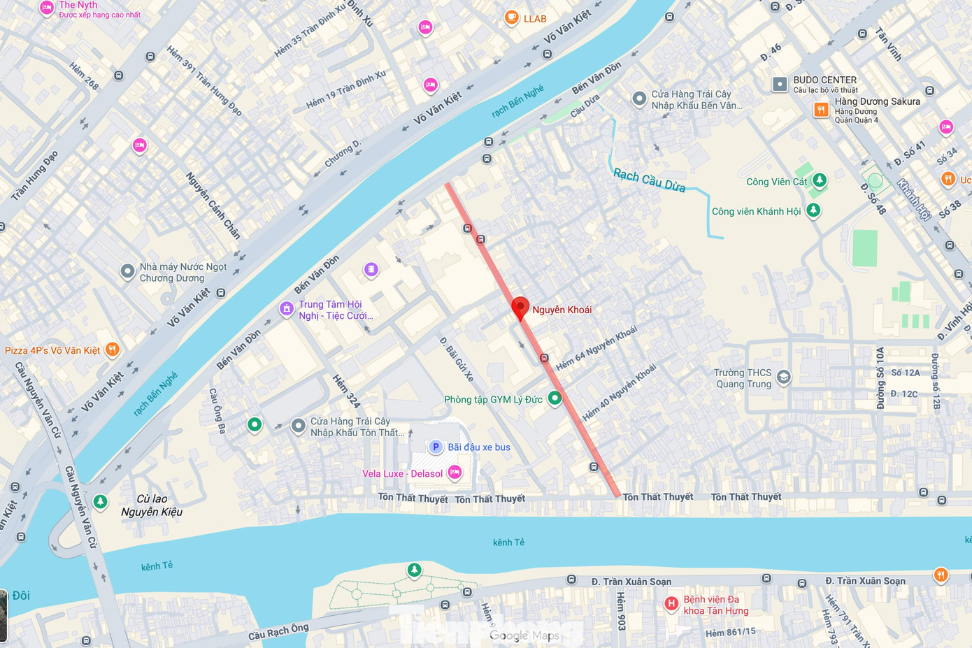
Location of Nguyen Khoai Road. The Nguyen Khoai Bridge and Road route spans nearly 5 km, starting from Hoang Trong Mau Street (former District 7), crossing the Te Canal, running elevated along Nguyen Khoai axis, and crossing the Ben Nghe Creek to merge into Vo Van Kiet Boulevard (former District 1) via branches N7 and N8. The bridge section is approximately 2.5 km long, while the road section exceeds 2.3 km, accompanied by a system of frontage roads and ramps leading to the former District 4 area.

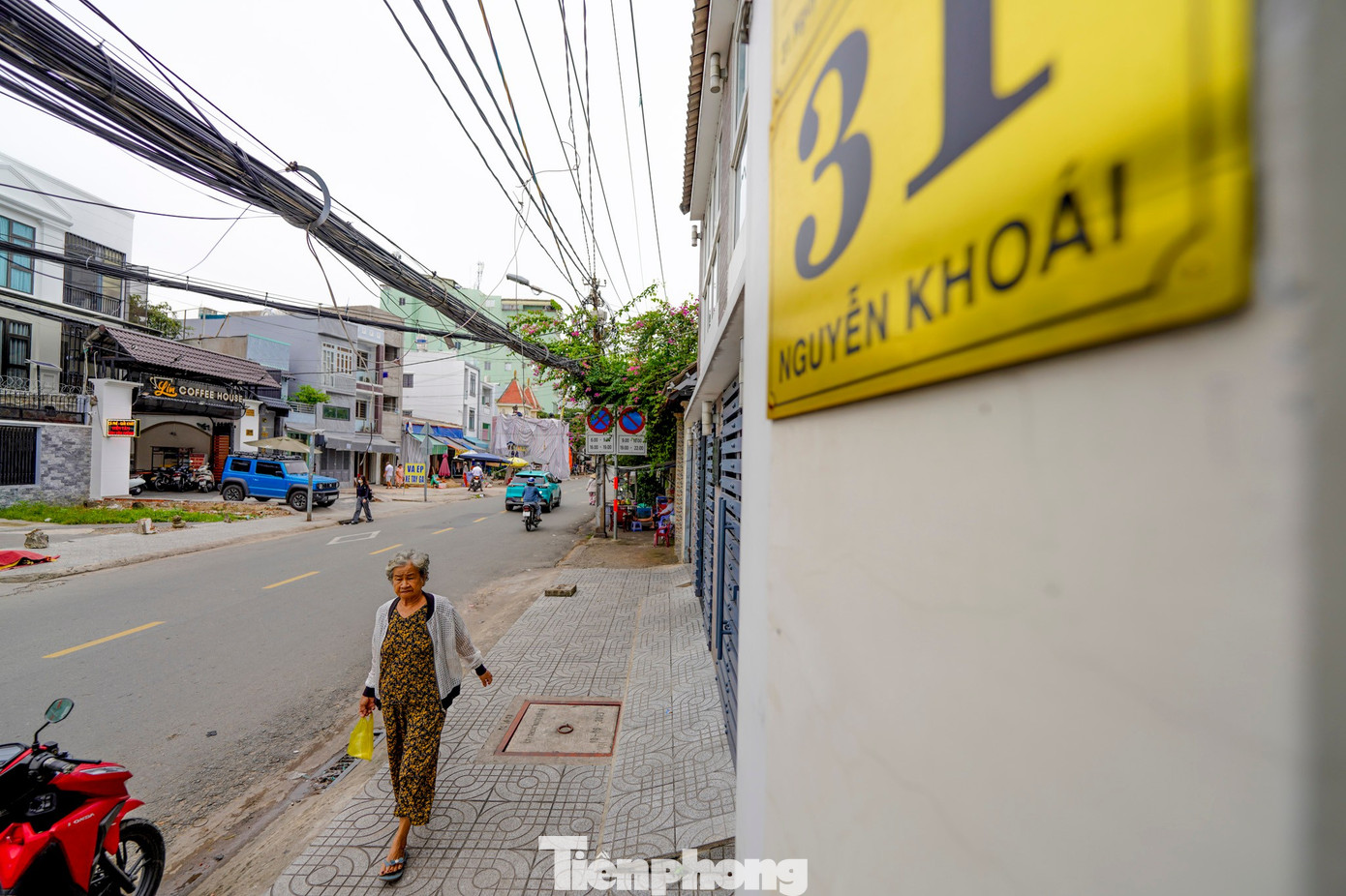
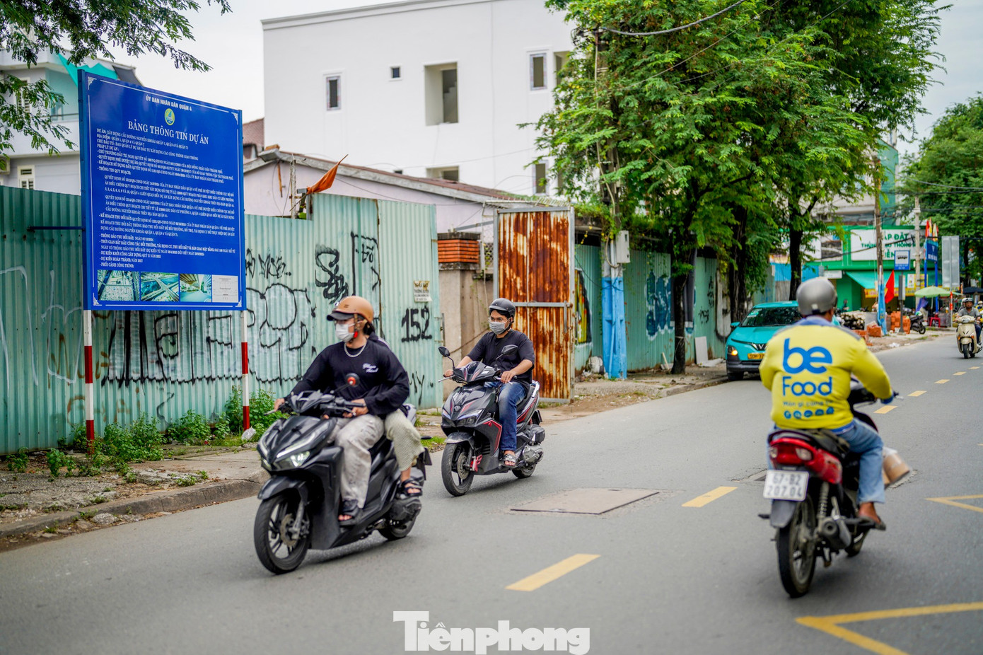
Nguyen Khoai Road stretches nearly 2 km, starting from Ben Van Don Street to Ton That Thuyet Street.
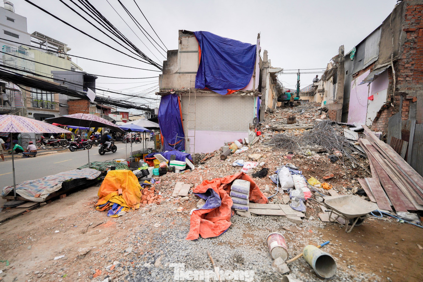


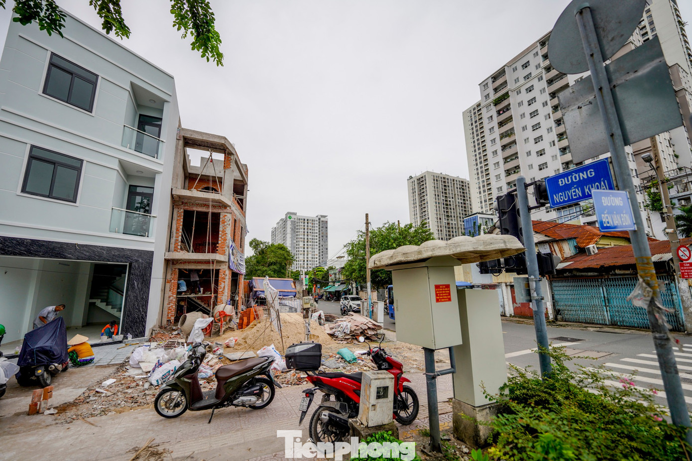
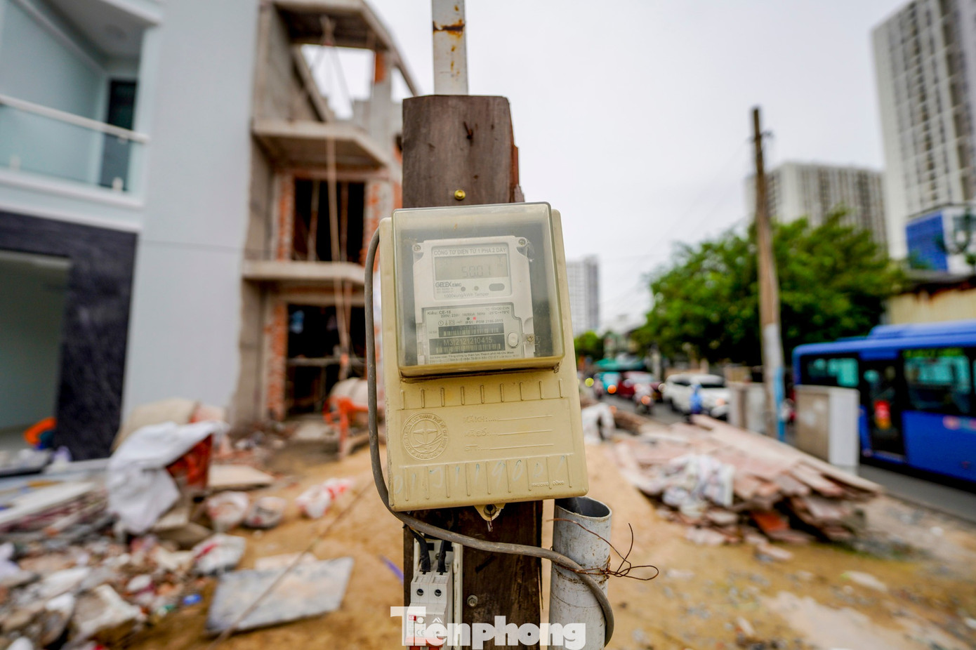
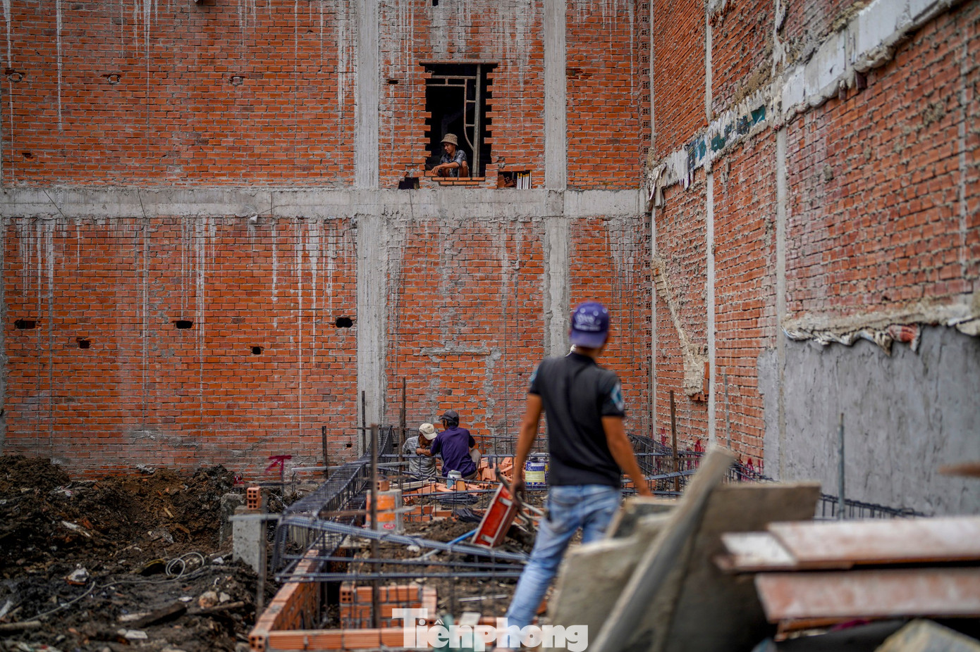
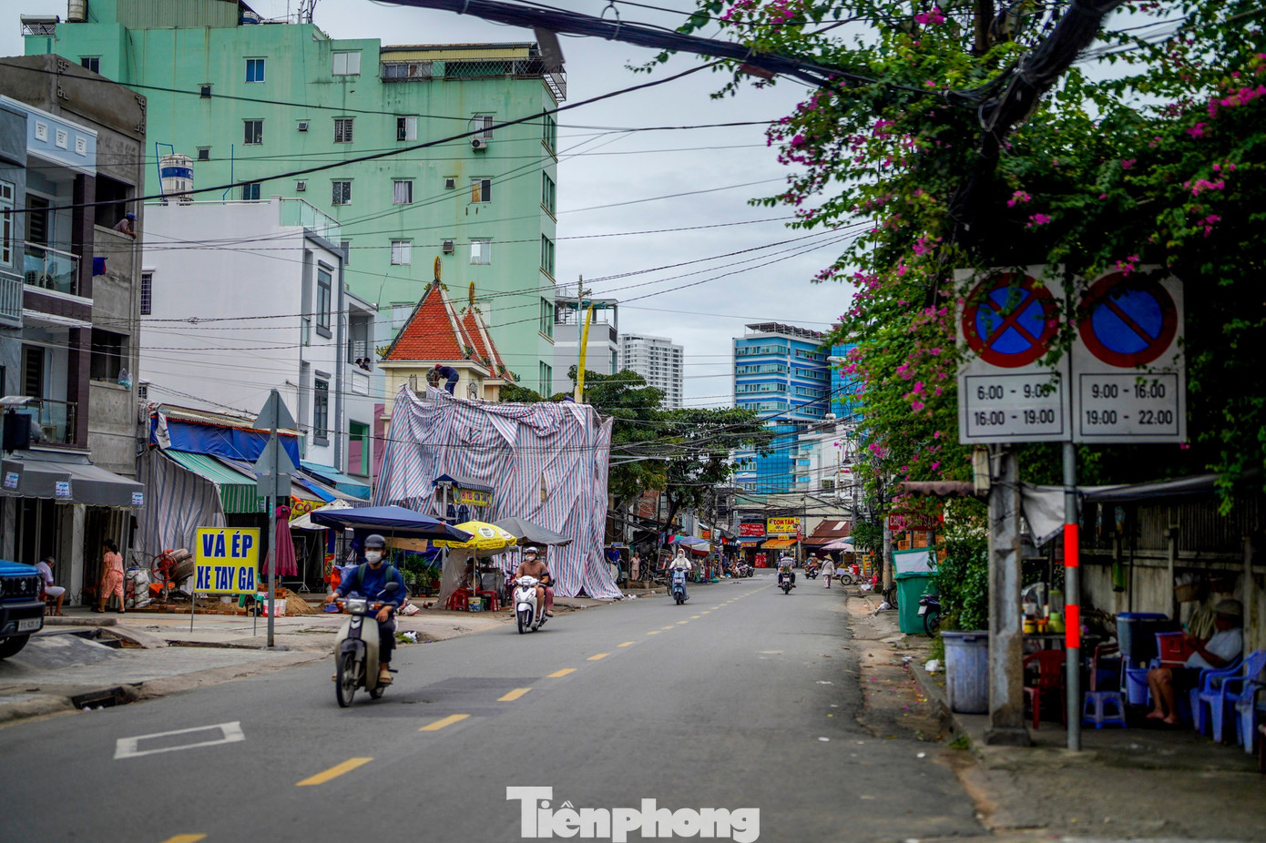
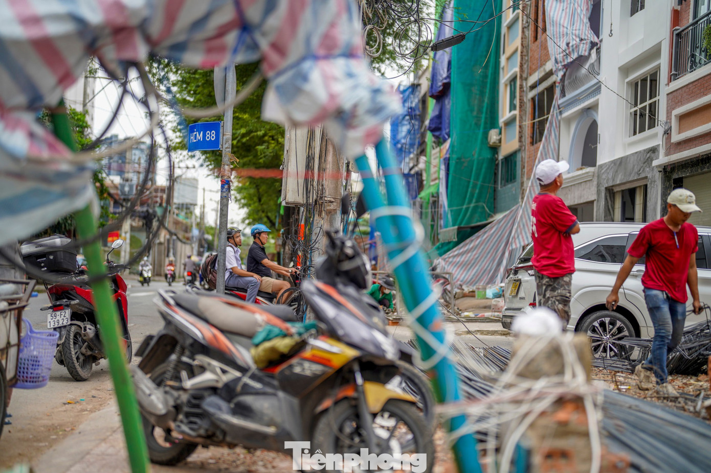
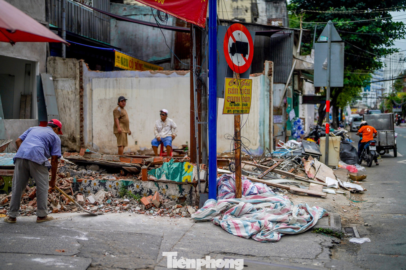
Houses, corrugated iron roofs, and brick walls along Nguyen Khoai route have been demolished. Some households have since begun renovating the remaining parts of their homes.

Ms. Nguyen Thi Ly, owner of a business on Nguyen Khoai Road, is very excited about the significant space cleared for the project. “Many people are eagerly awaiting the project’s completion. Once finished, the sidewalks and roads will be more organized, providing pedestrians with more space,” said Ms. Ly.
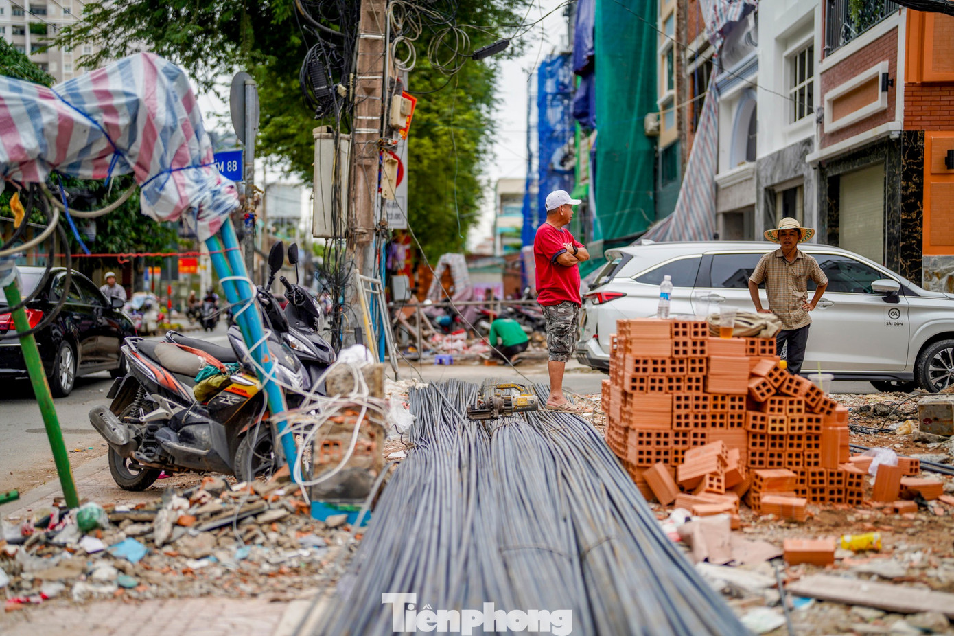

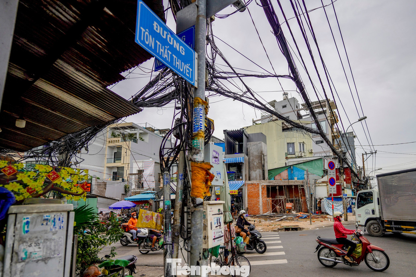
According to Tien Phong reporters, after being informed, many families have proactively cooperated with authorities, handing over the affected areas on schedule.
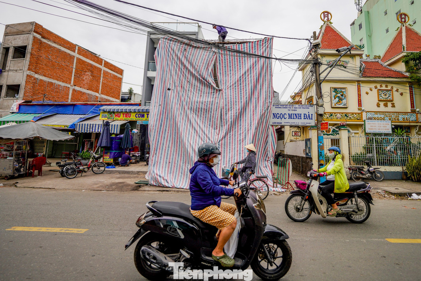
Mr. Nguyen Quang Hieu, a resident of this area for over three decades, shared: “My house was set back 7 meters and compensated at VND 180 million per square meter. When the government developed Nguyen Khoai Road, my family fully supported it to make the road wider and more spacious, which also facilitates business.”
Local authorities continue to support residents in relocation, resettlement, and compensation rights to ensure consensus. The proactive land handover by residents demonstrates their support for the city’s major infrastructure projects, contributing to the development of a modern and prosperous urban landscape in the southern part of Ho Chi Minh City.
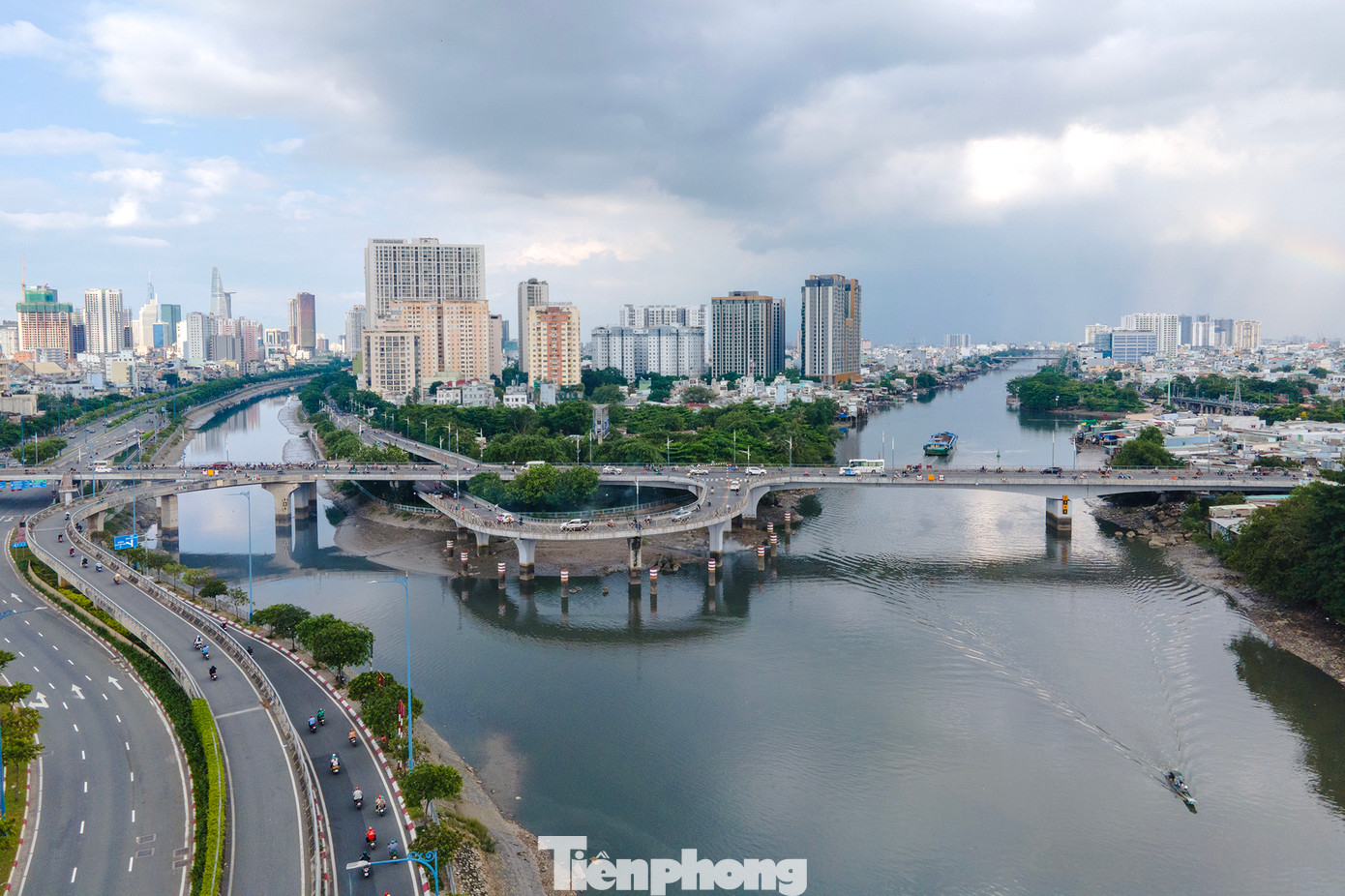
View from Nguyen Van Cu Bridge: to the left is the East-West Highway, with Ben Van Don (left branch) and Ton That Thuyet in the foreground. To the far right is the Te Canal Bridge (heading south). Upon completion, the project will create an important traffic route, significantly reducing congestion on the Te Canal Bridge, a long-standing bottleneck in the southern area.
In parallel with the Nguyen Khoai Bridge and Road project, Ho Chi Minh City is accelerating preparations for the commencement of other key projects such as the Binh Tien Bridge and Road and National Highway 50, aiming to complete urban transport infrastructure during the 2025 – 2030 period.
Central Province Housing “Halong Bay on Land” Seeks Investors for 6 Prime Real Estate Projects

The Department of Finance of Ninh Binh Province has unveiled a portfolio of six real estate projects open for investment, with a combined capital requirement of nearly VND 3,500 billion.
Dong Nai to Implement Lane Separation on National Highway 51 in Sync with Ho Chi Minh City

To ensure smooth, safe, and synchronized traffic flow, Dong Nai will implement dedicated lanes for cars and motorbikes on National Highway 51, mirroring the successful model adopted in Ho Chi Minh City.
How Will Ho Chi Minh City Manage Thousands of Public Properties Post-Merger?

Following the merger, Ho Chi Minh City now possesses thousands of state-managed properties, land plots, buildings, and headquarters that remain unused. As a result, the Department of Finance has been urgently tasked with advising and proposing solutions to the HCMC People’s Committee for the efficient handling and allocation of these public assets, ensuring optimal use and preventing wastage.
Hanoi Approves 40-50m Wide Road Project Connecting Vo Nguyen Giap Street to Soc Son Satellite Urban Area

The Hanoi People’s Committee has approved the second phase of the road connecting Vo Nguyen Giap and Soc Son, spanning over 4 kilometers. This project aims to complete the northern transportation axis and drive infrastructure development for the Soc Son satellite urban area.
Ho Chi Minh City Pilots Pork Trading Platform in December

The Director of the Department of Industry and Trade in Ho Chi Minh City has announced that the city will pilot a pork trading platform in December, with plans for official operations by the end of Q1 2026.


